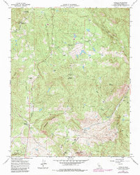
1965 Map of O'Neals
USGS Topo · Published 1981About this map
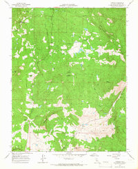
O'Neals serves as a focal point for this section of the Sierra Nevada foothills during the mid-1960s, surrounded by a network of ranching properties and small-scale mining operations. Family and regional history are preserved through labels like Venter Ranch, Lewis Ranch, and Bigelow Ranch, while the landscape is punctuated by peaks such as Trabuco Mountain and Quartz Mountain. The presence of the San Joaquin Experimental Range in the southwest corner and the California Youth Authority Camp in the northwest reflects the diverse land use of the era.
Find a feature on this map
33 named features on this map. Tap any name to fly to it.
Don’t see what you’re looking for? This feature index may not catch every label — zoom into the map to look around manually.
Map Details
Editions of this 1965 O'Neals Map
2 editions found
Other maps of this area

1912 · Mariposa
USGS Topo · 1:125,000

1916 · Sulphur Springs
USGS Topo · 1:24,000

1919 · Sulphur Springs
USGS Topo · 1:31,680

1919 · Little Table Mountain
USGS Topo · 1:31,680

1942 · Raymond
USGS Topo · 1:62,500

1942 · Little Table Mountain
USGS Topo · 1:24,000

1942 · Millerton Lake
USGS Topo · 1:62,500

1944 · Raymond
USGS Topo · 1:62,500

1945 · Millerton Lake
USGS Topo · 1:62,500

1947 · Mariposa
USGS Topo · 1:250,000