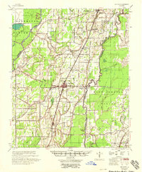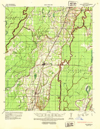
1935 Map of Oak Grove
USGS Topo · Published 1938About this map
Oak Grove serves as the central hub of this 1930s landscape, situated at the junction of the Missouri Pacific Railroad and several early state routes. The map documents a period of transition in the West Carroll Parish backcountry, where traditional river navigation along the winding Boeuf River and Bayou Macon met modern industrial expansion. Evidence of the timber and energy sectors appears through the El Bruce Co Logging Tramway and the United Production Corporation facility, while local education is anchored by rural landmarks like Hill Sch and Cordley Sch. The terrain is defined by a dense network of waterways including Tiger Bayou and Colewa Bayou, interspersed with prehistoric Indian Mound sites. Smaller settlements such as Kilbourne, Chickasaw, and Forest dot the rail line, marking the established communities of the northeastern Louisiana cotton belt during this era.
Find a feature on this map
44 named features on this map. Tap any name to fly to it.
Don’t see what you’re looking for? This feature index may not catch every label — zoom into the map to look around manually.
Map Details
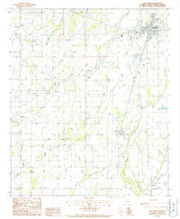
Editions of this 1935 Oak Grove Map
This is the sole edition of this map. No revisions or reprints were ever made.
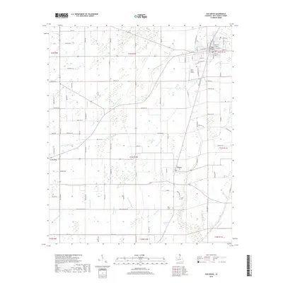
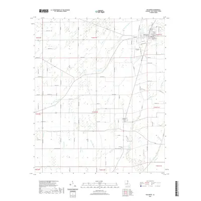
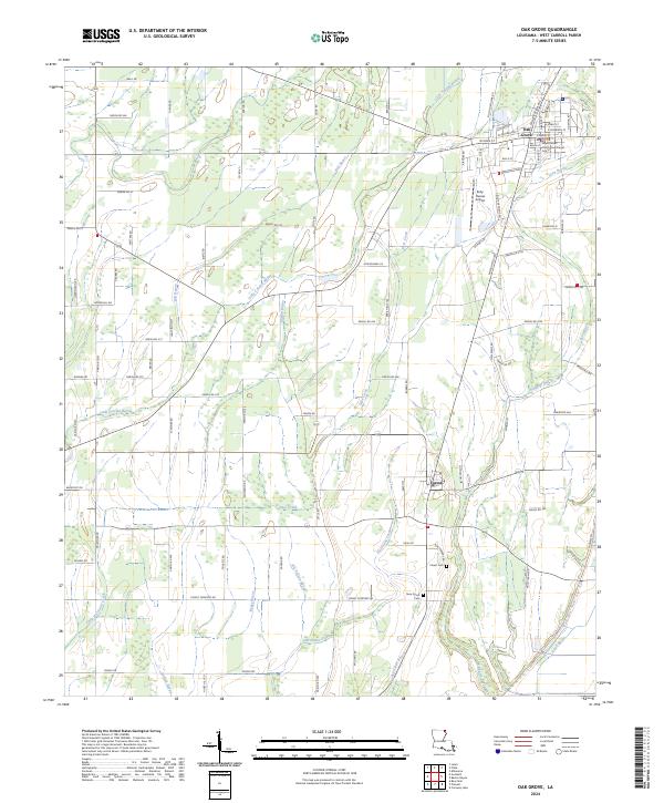
Historical Maps of Oak Grove Through Time
8 maps found