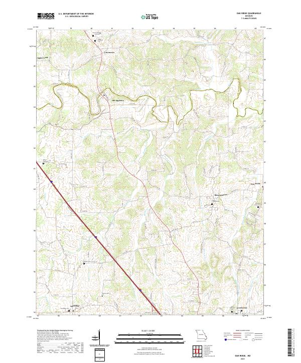
2021 Map of Oak Ridge
USGS Topo · Published 2021About this map
The rolling agricultural landscape of northern Cape Girardeau and southern Perry counties is defined by a dense network of Lutheran heritage sites and creek-side settlements. Apple Creek winds through the northern portion of the map, serving as a geographic boundary and an anchor for the community of Old Appleton. The map is particularly rich for genealogical research, documenting numerous denominational burial grounds such as Grace Lutheran Cem Middle, Trinity Lutheran Cem, and Immanuel Lutheran Cem. These sites, along with smaller family or localized plots like Erley-Dumbach Cem and Wilson Cem, reflect the deep-rooted settlement patterns of the region's early residents. Modern infrastructure like Interstate 55 cuts diagonally across the terrain, connecting the older established centers of Uniontown and Oak Ridge. The drainage patterns of Hughes Cr and Buckeye Cr further reveal the topographical challenges managed by local road networks like Co RD 510 and State Hwy CC.
Find a feature on this map
98 named features on this map. Tap any name to fly to it.
Don’t see what you’re looking for? This feature index may not catch every label — zoom into the map to look around manually.
Map Details
Editions of this 2021 Oak Ridge Map
This is the sole edition of this map. No revisions or reprints were ever made.
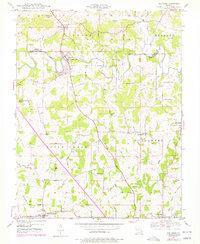
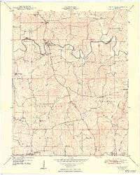
Historical Maps of Apple Creek Through Time
3 maps found