Loading...
Loading map...2024 Map of Oakridge
USGS Topo · Published 2024About this map
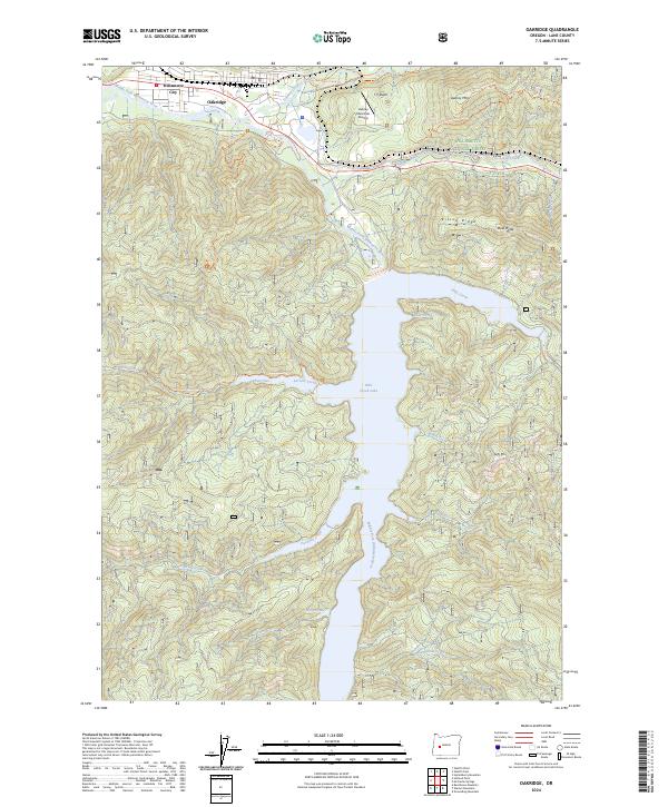
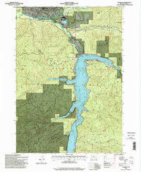
Oakridge and Willamette City sit at the northern edge of this landscape, positioned where Salmon Creek joins the Middle Fork Willamette River. This 2024 survey documents the modern layout of these timber-country communities and their relationship to the managed lands of the Willamette National Forest. Central to the area is the massive reach of Hills Creek Lake, which fills the valley of the Middle Fork and creates distinct features like Larison Cove and Stony Cove.
Find a feature on this map
35 named features on this map. Tap any name to fly to it.
Don’t see what you’re looking for? This feature index may not catch every label — zoom into the map to look around manually.
Map Details
Date Portrayed2024
Date Published2024
PublisherU.S. Geological Survey
Map TypeTopographic
Scale1:24000
Physical Dimensions24 x 29 inches
Editions of this 2024 Oakridge Map
This is the sole edition of this map. No revisions or reprints were ever made.
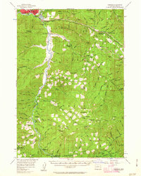
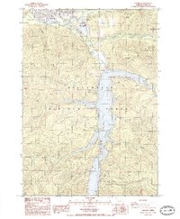
Historical Maps of Oakridge Through Time
5 maps found
Featured Locations
Source Details
SourceU.S. Geological Survey
CopyrightPublic Domain