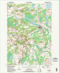
1992 Map of Ogdensburg
USGS Topo · Published 1995About this map
Ogdensburg is the central hub of this eastern Wisconsin landscape, situated where the South Branch Little Wolf River enters the Ogdensburg Pond. The village is defined by its grid near the river, featuring an Athletic Field and the nearby Ogdensburg Cem. The surrounding terrain of St Lawrence and Waupaca is characterized by glacial remnants and numerous small water bodies, including Shambeau Lake, Herman Lake, and Knutson Lake.
Find a feature on this map
46 named features on this map. Tap any name to fly to it.
Don’t see what you’re looking for? This feature index may not catch every label — zoom into the map to look around manually.
Map Details
Editions of this 1992 Ogdensburg Map
This is the sole edition of this map. No revisions or reprints were ever made.
Other maps of this area

1955 · Clintonville
USGS Topo · 1:48,000

1955 · Tigerton
USGS Topo · 1:48,000

1955 · Green Bay
USGS Topo · 1:250,000

1956 · Weyauwega
USGS Topo · 1:48,000

1957 · Waupaca
USGS Topo · 1:48,000
1969 · Manawa
USGS Topo · 1:24,000
1969 · Weyauwega
USGS Topo · 1:24,000
1969 · Waupaca
USGS Topo · 1:24,000
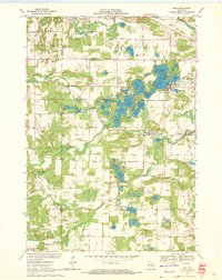
1969 · King
USGS Topo · 1:24,000
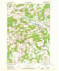
1969 · Ogdensburg
USGS Topo · 1:24,000