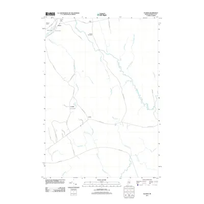
2011 Map of Olamon
USGS Topo · Published 2011About this map
Olamon and the nearby Olamon Island anchor the northwestern corner of this Penobscot County landscape, where the Olamon Post Office and several family burial grounds, including Welles Cemetery and Dennis Cemetery, document the local settlement pattern. The terrain is defined by a complex network of waterways, with the winding Olamon Stream flowing south toward Sunkhaze Stream.
Find a feature on this map
41 named features on this map. Tap any name to fly to it.
Don’t see what you’re looking for? This feature index may not catch every label — zoom into the map to look around manually.
Map Details
Editions of this 2011 Olamon Map
This is the sole edition of this map. No revisions or reprints were ever made.
Other maps of this area

1902 · Orono
USGS Topo · 1:62,500

1917 · Passadumkeag
USGS Topo · 1:62,500

1929 · Great Pond
USGS Topo · 1:48,000

1931 · Saponac
USGS Topo · 1:48,000

1932 · Great Pond
USGS Topo · 1:62,500

1934 · Saponac
USGS Topo · 1:62,500

1944 · Orono
USGS Topo · 1:62,500

1946 · Orono
USGS Topo · 1:62,500

1948 · Bangor
USGS Topo · 1:250,000

1954 · Millinocket
USGS Topo · 1:250,000