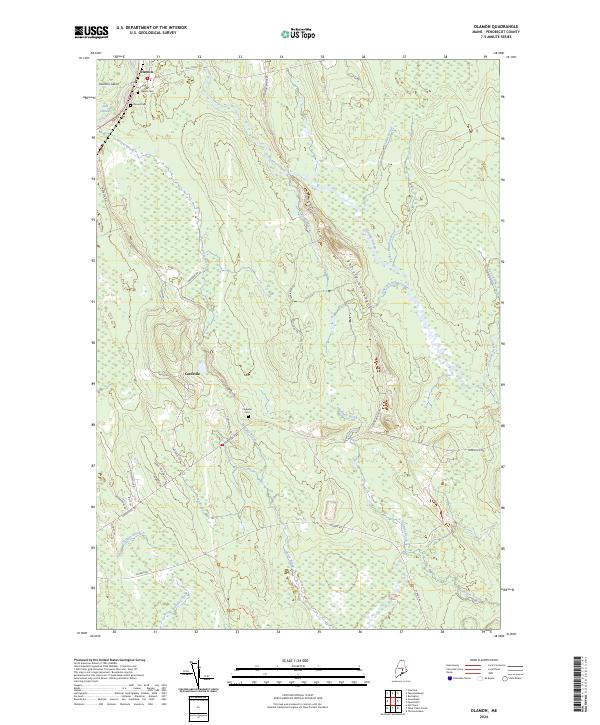
2024 Map of Olamon
USGS Topo · Published 2024About this map
Olamon and Cardville anchor this northern Maine landscape, where the Penobscot River creates complex waterways like the Side Channel and Olamon Island. To the south, the sprawling Sunkhaze Meadows National Wildlife Refuge dominates the terrain, protected as a massive wetland complex fed by Sunkhaze Stream and Buzzy Brook. The mapping of this area reveals a network of brooks and old transportation routes, including the Military Rd and Old Lowell Rd, which traverse the glacial geology of the Enfield Horseback. Local history and genealogy are anchored by several small burial grounds, including the Welles Cem, Dennis Cem, and Cardville Cem, providing a direct link to the families who settled this timber and river country. The numerous waterway names like Parker Meadow Brook and Halfway Brook illustrate the intricate drainage patterns that have historically shaped local land use and boundary lines.
Find a feature on this map
44 named features on this map. Tap any name to fly to it.
Don’t see what you’re looking for? This feature index may not catch every label — zoom into the map to look around manually.
Map Details
Editions of this 2024 Olamon Map
This is the sole edition of this map. No revisions or reprints were ever made.
Other maps of this area

1902 · Orono
USGS Topo · 1:62,500

1917 · Passadumkeag
USGS Topo · 1:62,500

1929 · Great Pond
USGS Topo · 1:48,000

1931 · Saponac
USGS Topo · 1:48,000

1932 · Great Pond
USGS Topo · 1:62,500

1934 · Saponac
USGS Topo · 1:62,500

1944 · Orono
USGS Topo · 1:62,500

1946 · Orono
USGS Topo · 1:62,500

1948 · Bangor
USGS Topo · 1:250,000

1954 · Millinocket
USGS Topo · 1:250,000