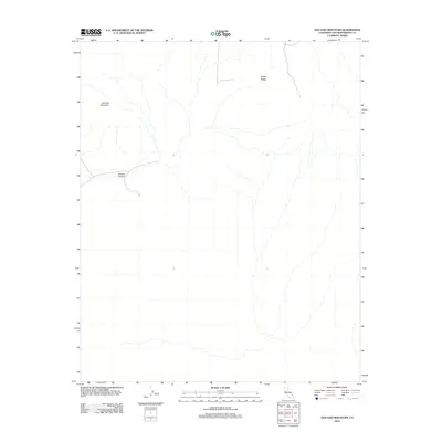
2012 Map of Old Dad Mountain
USGS Topo · Published 2012About this map
Old Dad Mountain dominates this portion of the San Bernardino County desert, anchoring a landscape defined by significant elevation changes and seasonal drainage patterns. This 2012 survey by the U.S. Geological Survey documents the landforms of the Mojave region, including the prominent Rocky Ridge to the northeast and the winding path of Jackass Canyon further west. The map illustrates a network of 4WD tracks and local roads that navigate the arid basins and steep contours of the mountain's flanks. These routes, primarily used for recreation and resource management, trace the natural topography where intermittent streams have carved channels through the desert floor. The scarcity of named human settlements emphasizes the character of this area as a preserved natural space within the California desert system.
Find a feature on this map
3 named features on this map. Tap any name to fly to it.
Don’t see what you’re looking for? This feature index may not catch every label — zoom into the map to look around manually.
Map Details
Editions of this 2012 Old Dad Mountain Map
This is the sole edition of this map. No revisions or reprints were ever made.
Other maps of this area

1910 · Ivanpah
USGS Topo · 1:250,000

1912 · Ivanpah
USGS Topo · 1:250,000

1942 · Ivanpah
USGS Topo · 1:250,000

1942 · Amboy
USGS Topo · 1:250,000

1943 · Amboy
USGS Topo · 1:250,000

1947 · Kingman
USGS Topo · 1:250,000

1948 · Kingman
USGS Topo · 1:250,000

1954 · Needles
USGS Topo · 1:250,000

1954 · Kingman
USGS Topo · 1:250,000

1955 · Kingman
USGS Topo · 1:250,000