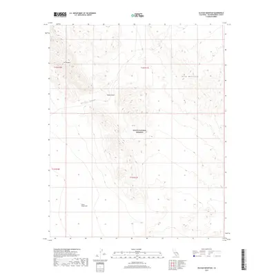
2018 Map of Old Dad Mountain
USGS Topo · Published 2018About this map
Mojave National Preserve encompasses most of this arid landscape, dominated by the stark peaks of Old Dad Mtn and the western reaches of the Kelso Mountains. The terrain transitions from the high, craggy slopes of the mountains down through Jackass Canyon toward the southern expanse of the Devils Playground. This area of the Mojave Desert illustrates the isolation of the high desert, where public lands managed by the National Park Service preserve the natural contours of the basin and range. Significant elevation changes are mapped in detail, showing the drainage patterns and desert washes that define the movement of water through this protected wilderness in San Bernardino County.
Find a feature on this map
10 named features on this map. Tap any name to fly to it.
Don’t see what you’re looking for? This feature index may not catch every label — zoom into the map to look around manually.
Map Details
Editions of this 2018 Old Dad Mountain Map
This is the sole edition of this map. No revisions or reprints were ever made.
Other maps of this area

1910 · Ivanpah
USGS Topo · 1:250,000

1912 · Ivanpah
USGS Topo · 1:250,000

1942 · Ivanpah
USGS Topo · 1:250,000

1942 · Amboy
USGS Topo · 1:250,000

1943 · Amboy
USGS Topo · 1:250,000

1947 · Kingman
USGS Topo · 1:250,000

1948 · Kingman
USGS Topo · 1:250,000

1954 · Needles
USGS Topo · 1:250,000

1954 · Kingman
USGS Topo · 1:250,000

1955 · Kingman
USGS Topo · 1:250,000