Loading...
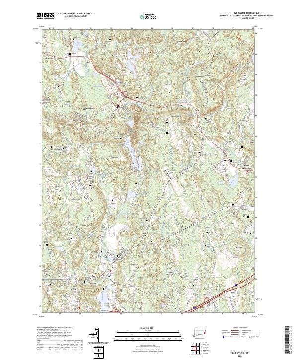
Loading map...2024 Map of Old Mystic
USGS Topo · Published 2024About this map
The Mystic River serves as a geographic anchor for this New London County landscape, where the coastal influence of Old Mystic gives way to a dense network of inland hills and family homesteads. The terrain is marked by significant elevations like Lantern Hill and Prentice Mtn, which overlook a series of glacial depressions including Lords Ponds and the expansive Lake of Isles.
Find a feature on this map
187 named features on this map. Tap any name to fly to it.
Don’t see what you’re looking for? This feature index may not catch every label — zoom into the map to look around manually.
Map Details
Date Portrayed2024
Date Published2024
PublisherU.S. Geological Survey
Map TypeTopographic
Scale1:24000
Physical Dimensions24 x 29 inches
Editions of this 2024 Old Mystic Map
This is the sole edition of this map. No revisions or reprints were ever made.
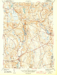
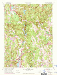
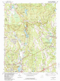
Historical Maps of Mashantucket Through Time
4 maps found
Featured Locations
Source Details
SourceU.S. Geological Survey
CopyrightPublic Domain