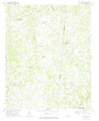
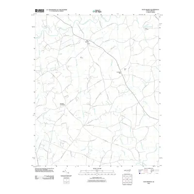
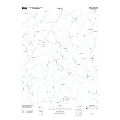
1970 Map of Olive Branch
USGS Topo · Published 1973About this map
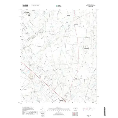
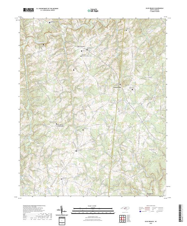
Olive Branch and Hamilton Crossroads anchor this rural landscape in the 1970s, where the boundary between Union and Anson counties follows the local creek drainage patterns. The area is defined by a dense network of small waterways, most notably Richardson Creek and Lakes Creek, which feed into the intricate branch systems that once dictated property lines and settlement patterns. Local landmarks like Rebel Hill and Cribs stand out as geographic anchors in a terrain otherwise marked by dispersed farming communities.
Find a feature on this map
34 named features on this map. Tap any name to fly to it.
Don’t see what you’re looking for? This feature index may not catch every label — zoom into the map to look around manually.
Map Details
Editions of this 1970 Olive Branch Map
This is the sole edition of this map. No revisions or reprints were ever made.
Historical Maps of Peachland Through Time
18 maps found
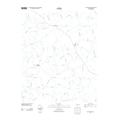
1970 Olive Branch
Union County, NC
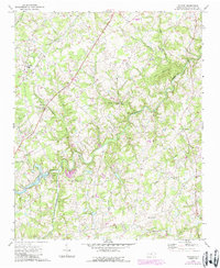
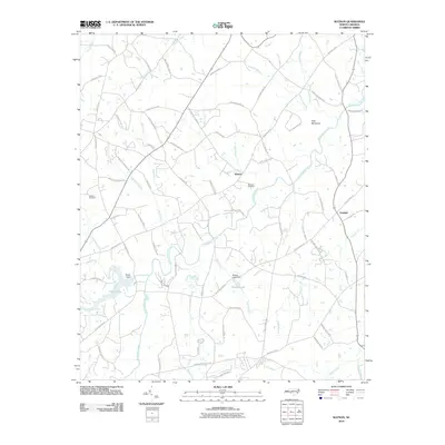
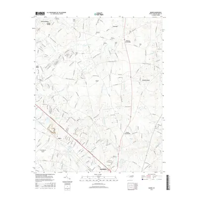
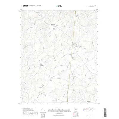
1970 Watson
Union County, NC
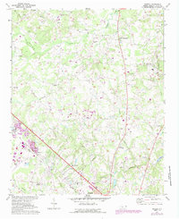
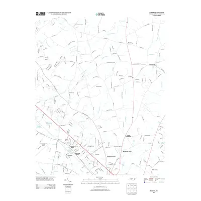
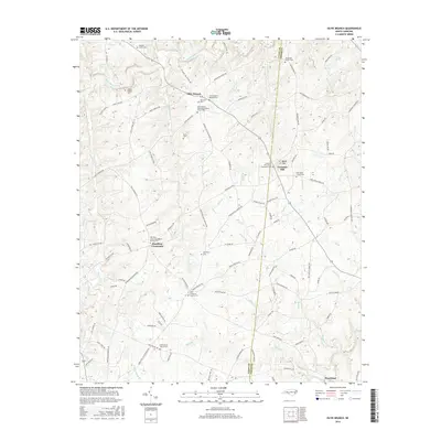
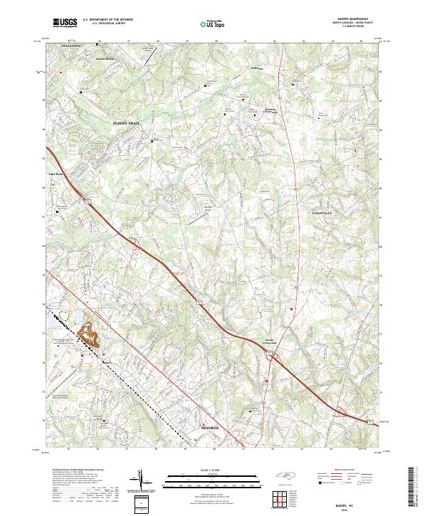
1971 Bakers
Union County, NC
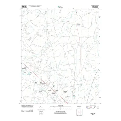
2010 Bakers
Union County, NC
2010 Olive Branch
Union County, NC
2010 Watson
Union County, NC
2013 Bakers
Union County, NC
2013 Olive Branch
Union County, NC
2013 Watson
Union County, NC
2016 Bakers
Union County, NC
2016 Olive Branch
Union County, NC
2016 Watson
Union County, NC
2019 Bakers
Union County, NC
2019 Olive Branch
Union County, NC
2019 Watson
Union County, NC
2022 Bakers
Union County, NC
2022 Olive Branch
Union County, NC
2022 Watson
Union County, NC