
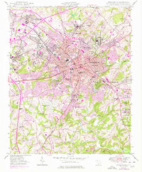
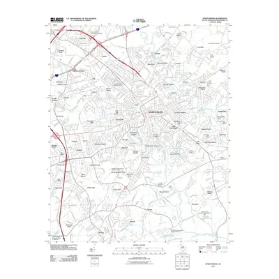
1964 Map of Spartanburg
USGS Topo · Published 1964About this map
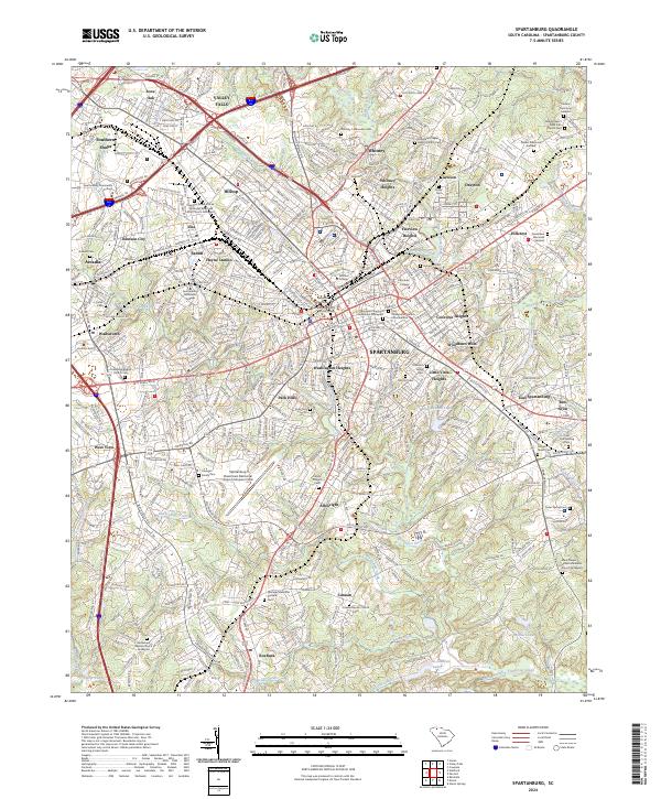
Spartanburg serves as the major urban anchor for this mid-century survey of the South Carolina Upcountry and Piedmont. The landscape is defined by the heavy drainage of the Pacolet River, Tyger River, and Enoree River, flowing southeast toward the Broad River. This era shows the region's industrial and military footprint, from the textile influence at Monarch Mills and Lando to the expansive Fort Jackson Military Reservation near the southern margin.
Find a feature on this map
122 named features on this map. Tap any name to fly to it.
Don’t see what you’re looking for? This feature index may not catch every label — zoom into the map to look around manually.
Map Details
Editions of this 1964 Spartanburg Map
This is the sole edition of this map. No revisions or reprints were ever made.
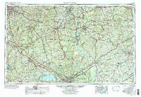
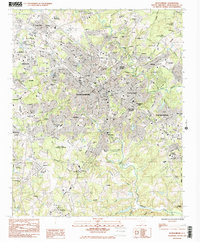
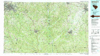
Historical Maps of Columbia Through Time
15 maps found

1941 Spartanburg
Spartanburg County, SC

1947 Spartanburg
Spartanburg County, SC

1949 Spartanburg
Spartanburg County, SC
1949 Spartanburg
Spartanburg County, SC
1953 Spartanburg
Spartanburg County, SC

1960 Spartanburg
Spartanburg County, SC

1963 Spartanburg
Spartanburg County, SC
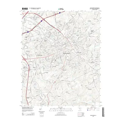
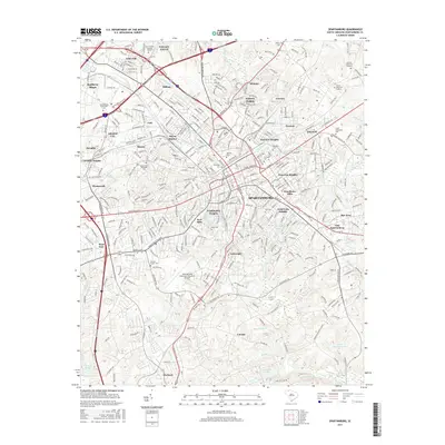
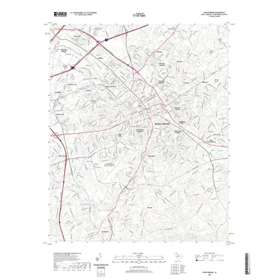
1964 Spartanburg
Spartanburg County, SC
1983 Spartanburg
Spartanburg County, SC
1986 Spartanburg
Spartanburg County, SC
2011 Spartanburg
Spartanburg County, SC
2014 Spartanburg
Spartanburg County, SC
2017 Spartanburg
Spartanburg County, SC
2020 Spartanburg
Spartanburg County, SC
2024 Spartanburg
Spartanburg County, SC