Loading...
Loading map...2022 Map of Orland
USGS Topo · Published 2022About this map
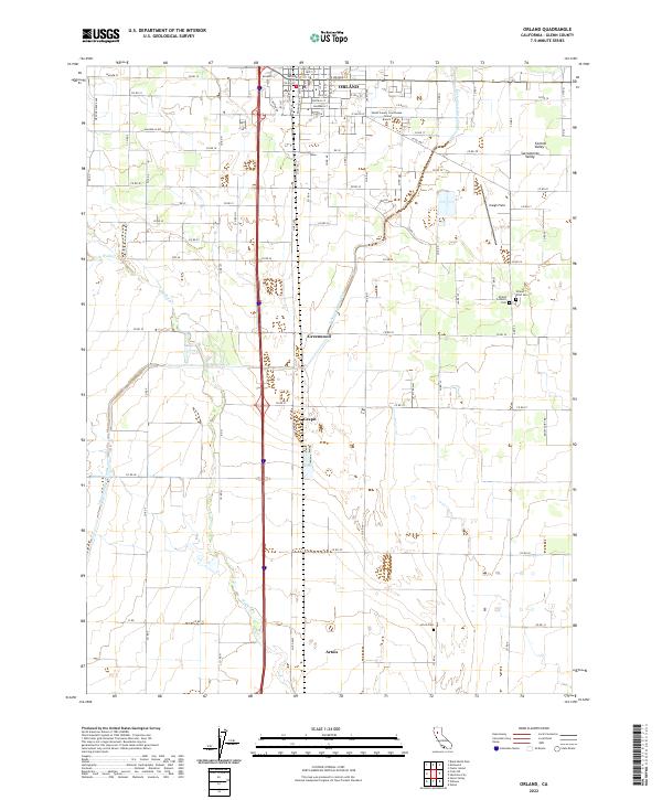
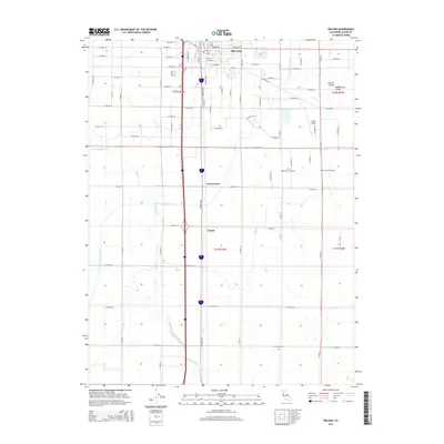
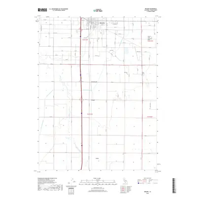
Orland and its surrounding agricultural plains in the Sacramento Valley are meticulously documented in this survey. The landscape is defined by the vital Tehama Colusa Canal and the natural path of Walker Cr, which provide the hydrological backbone for the region's productive lands. Outside the city center, small clusters such as Greenwood, Grapit, and Artois sit amidst a rigid grid of county roads, reflecting the systematic land division common in this part of California.
Find a feature on this map
69 named features on this map. Tap any name to fly to it.
Don’t see what you’re looking for? This feature index may not catch every label — zoom into the map to look around manually.
Map Details
Date Portrayed2022
Date Published2022
PublisherU.S. Geological Survey
Map TypeTopographic
Scale1:24,000
Physical Dimensions24 x 29 inches
Editions of this 2022 Orland Map
This is the sole edition of this map. No revisions or reprints were ever made.
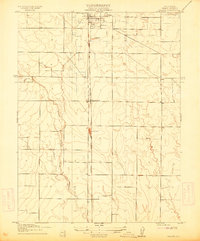
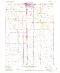
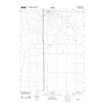
Historical Maps of Grapit Through Time
6 maps found
Featured Locations
Source Details
SourceU.S. Geological Survey
CopyrightPublic Domain