Loading...
Loading map...2024 Map of Ormond Beach
USGS Topo · Published 2024About this map
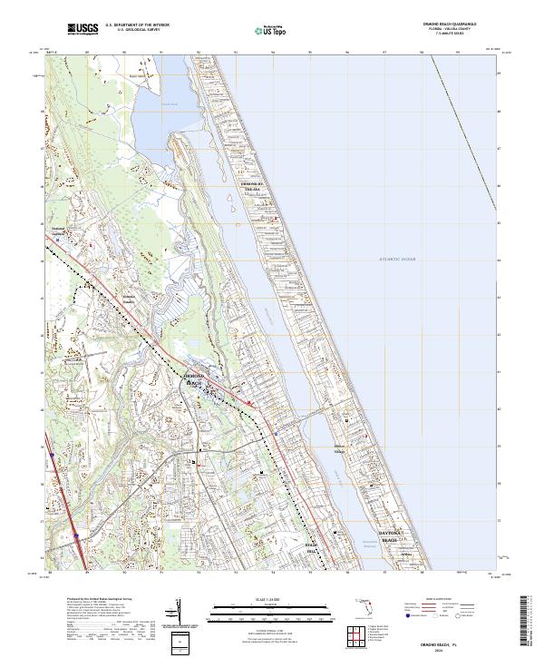
Ormond Beach and its surrounding coastal communities are defined by a complex network of waterways, where the Tomoka River flows into the Tomoka Basin before meeting the Halifax River. This 2024 survey captures the modern geography of the barrier island and mainland, showing the densely developed corridors along Ocean Shore Blvd and N Atlantic Ave in Ormond-by-the-Sea and Daytona Beach.
Find a feature on this map
54 named features on this map. Tap any name to fly to it.
Don’t see what you’re looking for? This feature index may not catch every label — zoom into the map to look around manually.
Map Details
Date Portrayed2024
Date Published2024
PublisherU.S. Geological Survey
Map TypeTopographic
Scale1:24000
Physical Dimensions24 x 29 inches
Editions of this 2024 Ormond Beach Map
This is the sole edition of this map. No revisions or reprints were ever made.
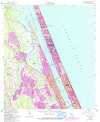
Historical Maps of Daytona Beach Through Time
Featured Locations
- Ormond Beach, FL
- Ormond-by-the-Sea, FL
- Daytona Beach, FL
- Ortona, Daytona Beach
- Ellinor Village, Ormond Beach
Source Details
SourceU.S. Geological Survey
CopyrightPublic Domain