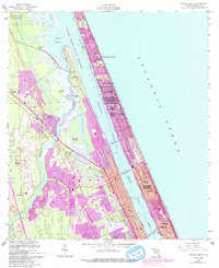
1956 Map of Ormond Beach
USGS Topo · Published 1993About this map
The Halifax River and Intracoastal Waterway define the coastal landscape of this 1950s survey, separating the burgeoning mainland developments from the narrow barrier peninsula. This era shows Ormond Beach and Daytona Beach expanding northward, with planned communities like Ellinor Village and Ormond-by-the-Sea appearing as dense residential grids against the Atlantic shoreline. Inland, the landscape retains traces of its earlier history, including the Anacane Mission (Ruins) and the Addison Blockhouse (Ruins) near the Tomoka River. The transition from coastal tourism to marshland conservation is evident in the Tomoka State Park and the expansive Tomoka Marsh Aquatic Preserve. Transportation routes such as the Dixie Highway provide the primary north-south axis, while the Ormond Beach Municipal Airport marks the western edge of the developing municipal area.
Find a feature on this map
31 named features on this map. Tap any name to fly to it.
Don’t see what you’re looking for? This feature index may not catch every label — zoom into the map to look around manually.
Map Details
Editions of this 1956 Ormond Beach Map
4 editions found

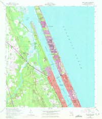
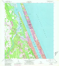
Other maps of this area

1937 · Port Orange
USGS Topo · 1:48,000

1937 · Ormond
USGS Topo · 1:48,000

1943 · Port Orange
USGS Topo · 1:62,500

1944 · Ormond
USGS Topo · 1:62,500

1944 · Port Orange
USGS Topo · 1:62,500

1952 · Daytona Beach
USGS Topo · 1:24,000

1954 · Daytona Beach
USGS Topo · 1:250,000

1956 · Port Orange
USGS Topo · 1:24,000

1956 · Favoretta
USGS Topo · 1:24,000

1956 · Flagler Beach East
USGS Topo · 1:24,000