
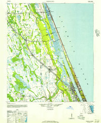
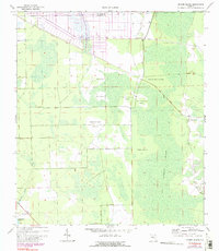
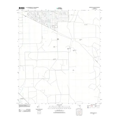
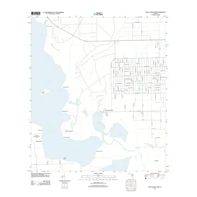
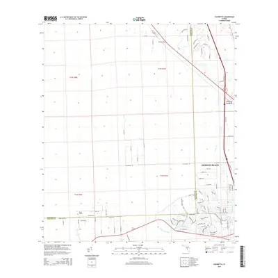
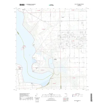
1937 Map of Ormond
USGS Topo · Published 1937About this map
The Florida East Coast RR and Coast Highway No 4 define the inland corridor of this 1930s coastal landscape, running parallel to the Atlantic shore through Flagler Beach and Ormond. The map reveals an era of specialized industry and early tourism, anchored by the Relay Turpentine Still in the southern wetlands and the Rio Vista Golf Course near the riverfront.
Find a feature on this map
33 named features on this map. Tap any name to fly to it.
Don’t see what you’re looking for? This feature index may not catch every label — zoom into the map to look around manually.
Map Details
Editions of this 1937 Ormond Map
This is the sole edition of this map. No revisions or reprints were ever made.
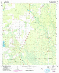
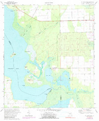
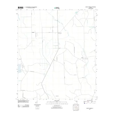
Historical Maps of Palm Coast Through Time
45 maps found

1927 Matanzas
Flagler County, FL

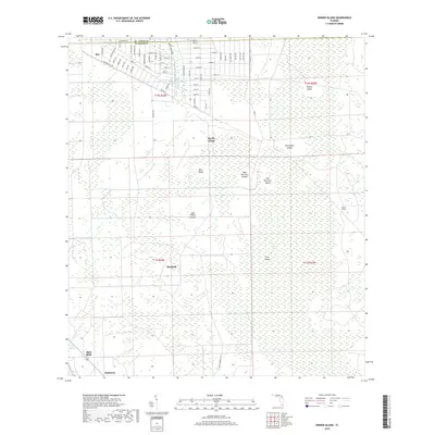
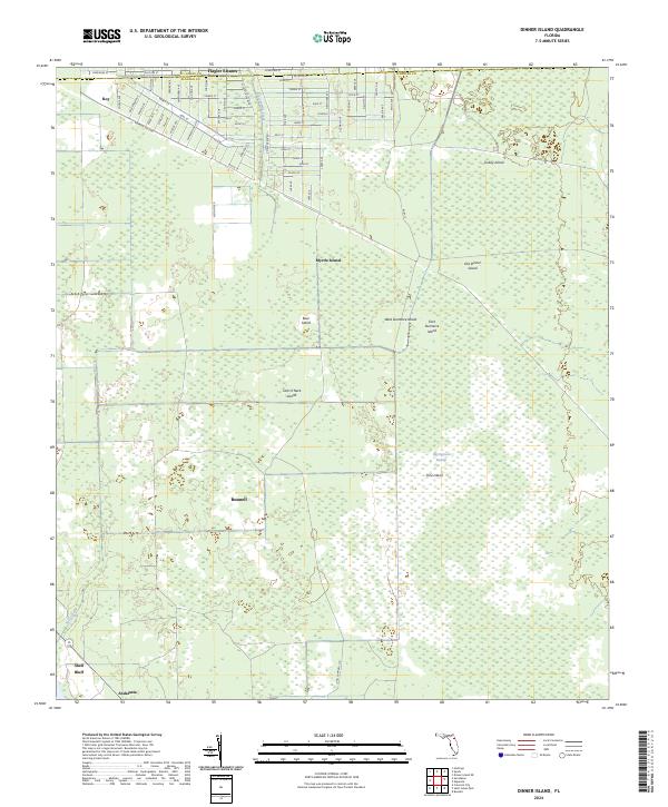
1937 Dinner Island
Flagler County, FL
1937 Ormond
Flagler County, FL

1943 Dinner Island
Flagler County, FL

1943 Matanzas
Flagler County, FL

1944 Dinner Island
Flagler County, FL

1944 Matanzas
Flagler County, FL
1944 Ormond
Flagler County, FL
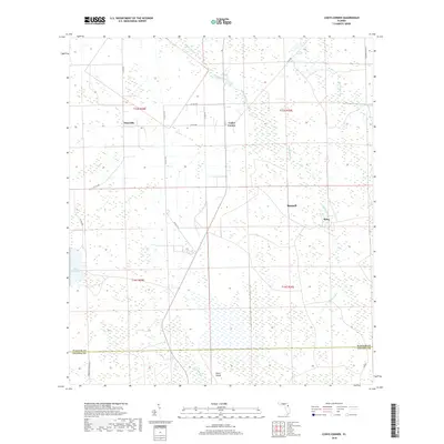
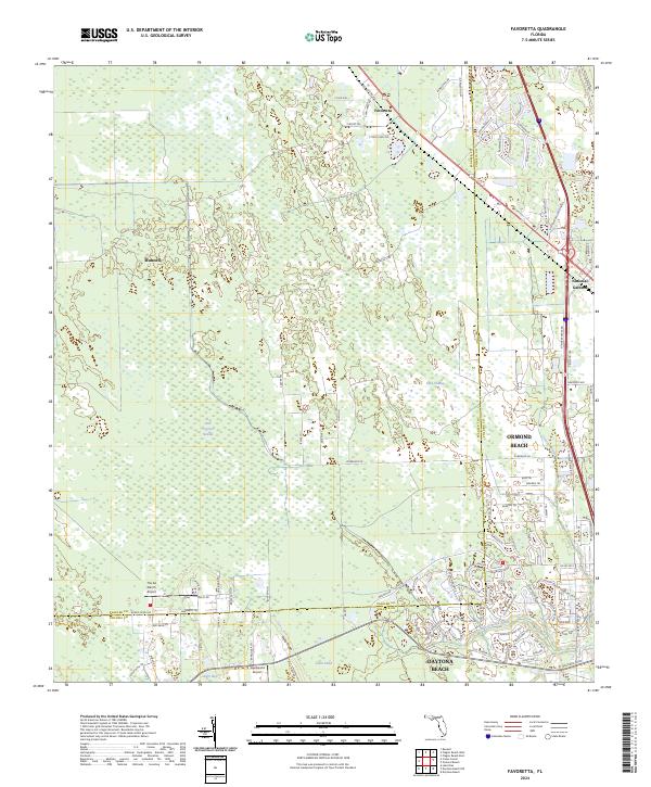
1956 Favoretta
Flagler County, FL
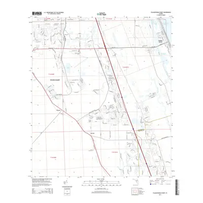
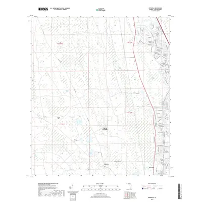
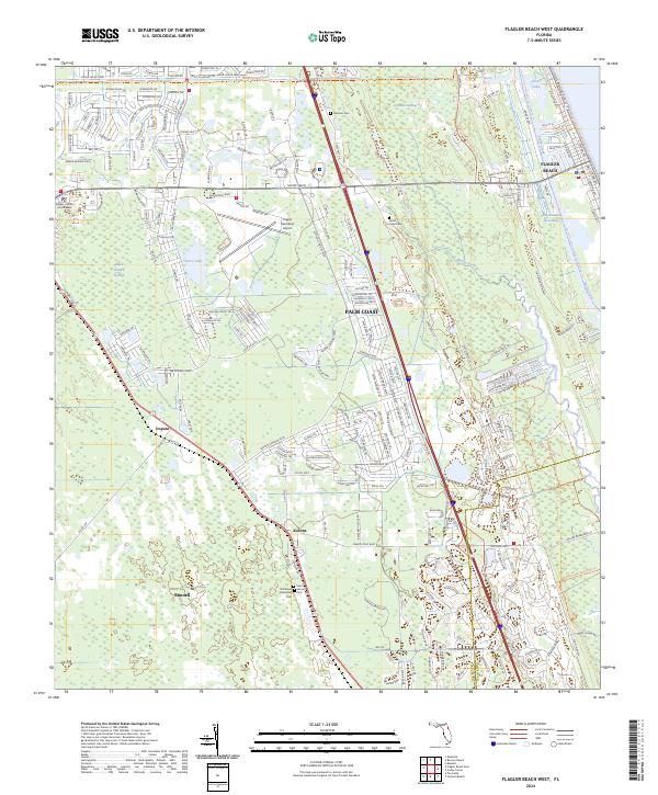
1956 Flagler Beach West
Flagler County, FL
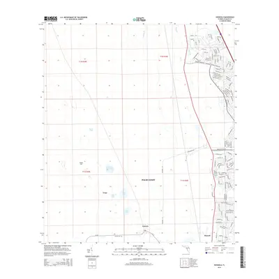
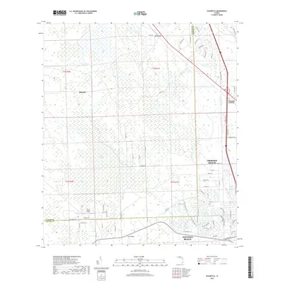
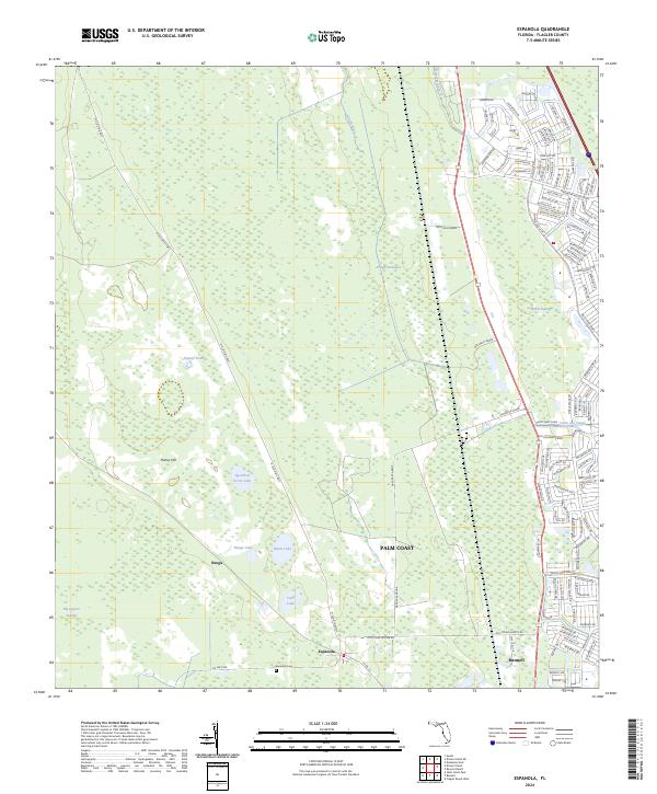
1957 Espanola
Flagler County, FL
1970 Dinner Island
Flagler County, FL
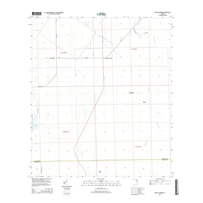
1972 Codys Corner
Flagler County, FL
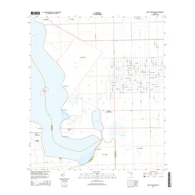
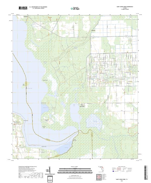
1972 St Johns Park
Flagler County, FL
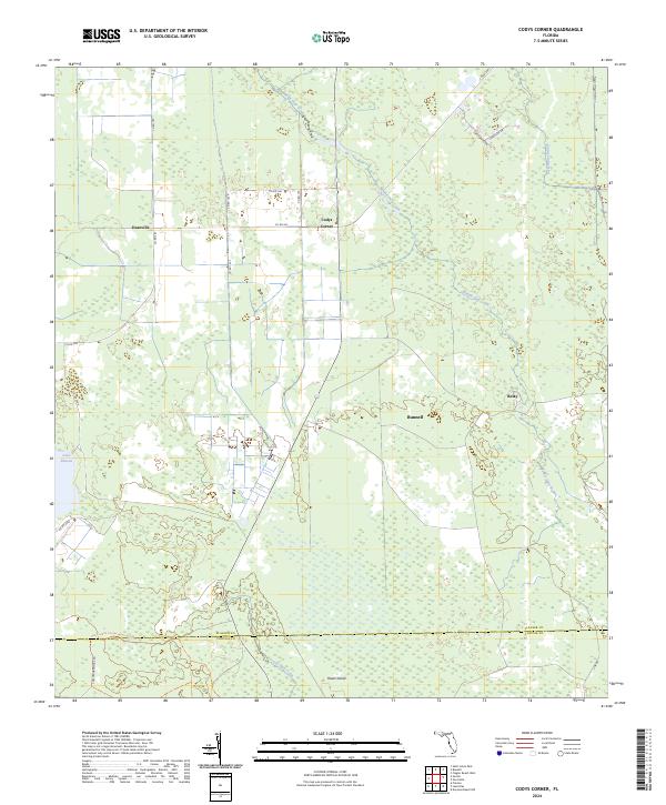
2012 Codys Corner
Flagler County, FL
2012 Dinner Island
Flagler County, FL
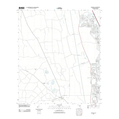
2012 Espanola
Flagler County, FL
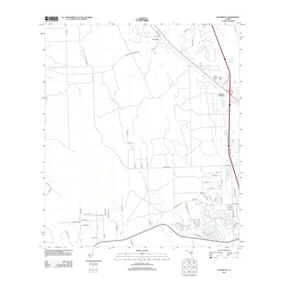
2012 Favoretta
Flagler County, FL
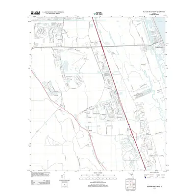
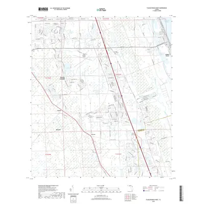
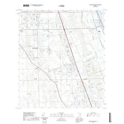
2012 Flagler Beach West
Flagler County, FL
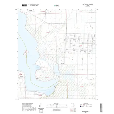
2012 Saint Johns Park
Flagler County, FL
2015 Codys Corner
Flagler County, FL
2015 Dinner Island
Flagler County, FL
2015 Espanola
Flagler County, FL
2015 Favoretta
Flagler County, FL
2015 Flagler Beach West
Flagler County, FL
2015 Saint Johns Park
Flagler County, FL
2018 Codys Corner
Flagler County, FL
2018 Dinner Island
Flagler County, FL
2018 Espanola
Flagler County, FL
2018 Favoretta
Flagler County, FL
2018 Flagler Beach West
Flagler County, FL
2018 Saint Johns Park
Flagler County, FL
2021 Codys Corner
Flagler County, FL
2021 Dinner Island
Flagler County, FL
2021 Espanola
Flagler County, FL

2021 Favoretta
Flagler County, FL
2021 Flagler Beach West
Flagler County, FL
2021 Saint Johns Park
Flagler County, FL
2023 Flagler Beach West
Flagler County, FL
2024 Codys Corner
Flagler County, FL
2024 Dinner Island
Flagler County, FL
2024 Espanola
Flagler County, FL
2024 Favoretta
Flagler County, FL
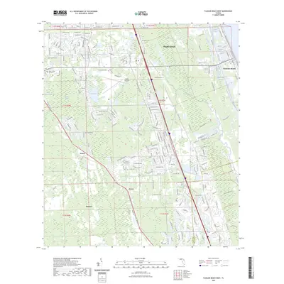
2024 Flagler Beach West
Flagler County, FL
2024 Saint Johns Park
Flagler County, FL