
1956 Map of Ormond Beach
USGS Topo · Published 1960About this map
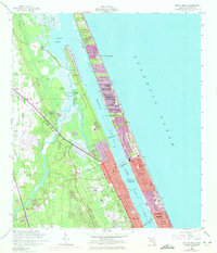
Tomoka State Park sits at the confluence of the Tomoka River and the Halifax River, anchoring a coastal landscape where history and modern development met in the mid-1950s. The map documents significant historical markers, including the Addison Blockhouse (Ruins) and the Tomoka Mission (Ruins), preserved within the state park grounds. These remnants of earlier Florida history are positioned against a backdrop of post-war growth, seen in the planned streets of Ellinor Village and Ormond-by-the-Sea.
Find a feature on this map
28 named features on this map. Tap any name to fly to it.
Don’t see what you’re looking for? This feature index may not catch every label — zoom into the map to look around manually.
Map Details
Editions of this 1956 Ormond Beach Map
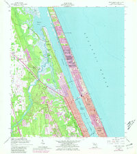
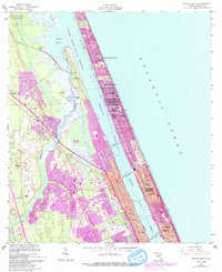
4 editions found
Other maps of this area

1937 · Port Orange
USGS Topo · 1:48,000

1937 · Ormond
USGS Topo · 1:48,000

1943 · Port Orange
USGS Topo · 1:62,500

1944 · Ormond
USGS Topo · 1:62,500

1944 · Port Orange
USGS Topo · 1:62,500

1952 · Daytona Beach
USGS Topo · 1:24,000

1954 · Daytona Beach
USGS Topo · 1:250,000

1956 · Port Orange
USGS Topo · 1:24,000

1956 · Favoretta
USGS Topo · 1:24,000

1956 · Flagler Beach East
USGS Topo · 1:24,000