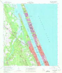
1956 Map of Ormond Beach
USGS Topo · Published 1972About this map
The Halifax River and Tomoka River dominate this coastal landscape, creating a complex network of waterways separated from the Atlantic Ocean by narrow barrier strips. This mid-century survey captures a period of significant transition as the Ormond Beach area expanded. The inclusion of purple-tinted urban extensions from 1970 highlights the rapid growth of coastal communities like Ormond-by-the-Sea and Ellinor Village beyond the original 1956 survey data.
Find a feature on this map
29 named features on this map. Tap any name to fly to it.
Don’t see what you’re looking for? This feature index may not catch every label — zoom into the map to look around manually.
Map Details
Editions of this 1956 Ormond Beach Map
4 editions found

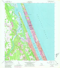
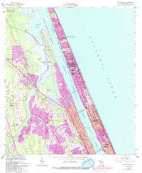
Other maps of this area

1937 · Port Orange
USGS Topo · 1:48,000

1937 · Ormond
USGS Topo · 1:48,000

1943 · Port Orange
USGS Topo · 1:62,500

1944 · Ormond
USGS Topo · 1:62,500

1944 · Port Orange
USGS Topo · 1:62,500

1952 · Daytona Beach
USGS Topo · 1:24,000

1954 · Daytona Beach
USGS Topo · 1:250,000

1956 · Port Orange
USGS Topo · 1:24,000

1956 · Favoretta
USGS Topo · 1:24,000

1956 · Flagler Beach East
USGS Topo · 1:24,000