
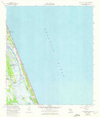
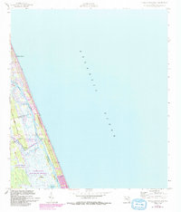
1956 Map of Flagler Beach East
USGS Topo · Published 1960About this map
The Atlantic coast of Florida at Flagler Beach is depicted here during the mid-1950s, showing a landscape defined by the parallel courses of the ocean and the Intracoastal Waterway. This area along the boundary of Flagler and Volusia counties reveals a narrow strip of developed barrier beach transitioning into the marshes and hammocks of the interior. The U S Coast Guard Reservation and nearby Ruins indicate a coast with both active federal oversight and remnants of earlier habitation.
Find a feature on this map
17 named features on this map. Tap any name to fly to it.
Don’t see what you’re looking for? This feature index may not catch every label — zoom into the map to look around manually.
Map Details
Editions of this 1956 Flagler Beach East Map
Other maps of this area

1927 · Matanzas
USGS Topo · 1:48,000

1937 · Ormond
USGS Topo · 1:48,000

1943 · Matanzas
USGS Topo · 1:62,500

1944 · Ormond
USGS Topo · 1:62,500

1944 · Matanzas
USGS Topo · 1:62,500

1954 · Daytona Beach
USGS Topo · 1:250,000

1956 · Favoretta
USGS Topo · 1:24,000

1956 · Flagler Beach West
USGS Topo · 1:24,000

1956 · Ormond Beach
USGS Topo · 1:24,000
1956 · Beverly Beach
USGS Topo · 1:24,000