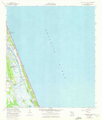
1956 Map of Flagler Beach East
USGS Topo · Published 1972About this map
Flagler Beach occupies the narrow barrier island between the Atlantic Ocean and the coastal lagoons of the Intracoastal Waterway in this mid-century survey. The landscape is defined by the tight corridor of the Smith Creek and Halifax Creek systems, which separate the beachfront development from the inland marshes. Inland, the John Anderson Highway runs parallel to the coast, passing through the hammocks and low-lying wetlands.
Find a feature on this map
17 named features on this map. Tap any name to fly to it.
Don’t see what you’re looking for? This feature index may not catch every label — zoom into the map to look around manually.
Map Details
Editions of this 1956 Flagler Beach East Map
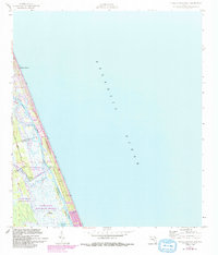
Other maps of this area

1927 · Matanzas
USGS Topo · 1:48,000

1937 · Ormond
USGS Topo · 1:48,000

1943 · Matanzas
USGS Topo · 1:62,500

1944 · Ormond
USGS Topo · 1:62,500

1944 · Matanzas
USGS Topo · 1:62,500

1954 · Daytona Beach
USGS Topo · 1:250,000

1956 · Favoretta
USGS Topo · 1:24,000

1956 · Flagler Beach East
USGS Topo · 1:24,000

1956 · Flagler Beach West
USGS Topo · 1:24,000

1956 · Ormond Beach
USGS Topo · 1:24,000