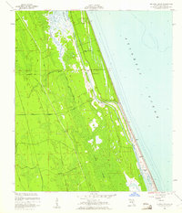
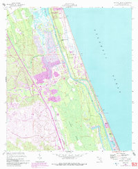
1956 Map of Beverly Beach
USGS Topo · Published 1961About this map
Matanzas River and the Intracoastal Waterway define this coastal landscape, separating the barrier beach settlements from the interior marshlands. The mid-century development of Beverly Beach is visible along the Atlantic coast, where a grid of streets meets the shoreline near Silver Lake. Inland, the terrain transitions into the dense, poorly drained expanse of Graham Swamp, a feature that historically limited westward expansion from the coast.
Find a feature on this map
19 named features on this map. Tap any name to fly to it.
Don’t see what you’re looking for? This feature index may not catch every label — zoom into the map to look around manually.
Map Details
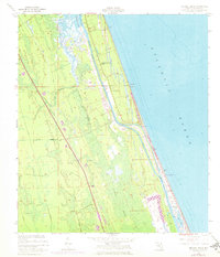
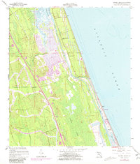
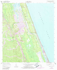
Editions of this 1956 Beverly Beach Map
5 editions found
Other maps of this area

1927 · Matanzas
USGS Topo · 1:48,000

1937 · Dinner Island
USGS Topo · 1:48,000

1937 · Ormond
USGS Topo · 1:48,000

1943 · Dinner Island
USGS Topo · 1:62,500

1943 · Matanzas
USGS Topo · 1:62,500

1944 · Ormond
USGS Topo · 1:62,500

1944 · Dinner Island
USGS Topo · 1:62,500

1944 · Matanzas
USGS Topo · 1:62,500

1954 · Daytona Beach
USGS Topo · 1:250,000

1956 · Dinner Island NE
USGS Topo · 1:24,000