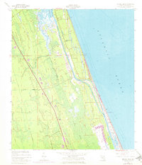
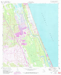
1956 Map of Beverly Beach
USGS Topo · Published 1972About this map
Beverly Beach and the adjacent barrier island communities define this coastal landscape, situated between the expansive Atlantic Ocean and the Matanzas River. The inland terrain is dominated by the dense Graham Swamp, which is drained by a network of waterways including Mulberry Branch and Little Mulberry Branch. Transportation in the mid-1950s relied on the historic Old Kings Road and St Joe Road, while the Intracoastal Waterway provided a vital corridor for coastal traffic. Notable local landmarks include the Johnson Memorial Chapel and a Lookout Tower near Painters Hill. Revisions from the early 1970s illustrate the gradual development of the coastline near Bon Terra and the dredging of Fox Cut, reflecting the region's transition into a more established residential and recreational area during the postwar era.
Find a feature on this map
19 named features on this map. Tap any name to fly to it.
Don’t see what you’re looking for? This feature index may not catch every label — zoom into the map to look around manually.
Map Details
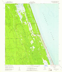
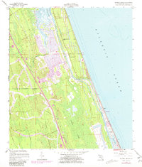
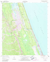
Editions of this 1956 Beverly Beach Map
5 editions found
Other maps of this area

1927 · Matanzas
USGS Topo · 1:48,000

1937 · Dinner Island
USGS Topo · 1:48,000

1937 · Ormond
USGS Topo · 1:48,000

1943 · Dinner Island
USGS Topo · 1:62,500

1943 · Matanzas
USGS Topo · 1:62,500

1944 · Ormond
USGS Topo · 1:62,500

1944 · Dinner Island
USGS Topo · 1:62,500

1944 · Matanzas
USGS Topo · 1:62,500

1954 · Daytona Beach
USGS Topo · 1:250,000

1956 · Dinner Island NE
USGS Topo · 1:24,000