
1956 Map of Dinner Island NE
USGS Topo · Published 1960About this map
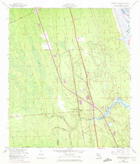
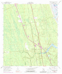
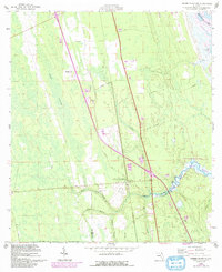
Fish Swamp dominates much of this Florida landscape, where the flat coastal wetlands are defined by a network of drainage branches and historic transport corridors. In the mid-1950s, the boundary between St Johns and Flagler Counties is marked by Pellicer Creek, a central waterway winding toward the Matanzas River and the Intracoastal Waterway. This area preserves evidence of early land routes, including the Old Kings Road and the Old Brick Road, which run parallel to the modern Florida East Coast railroad line.
Find a feature on this map
20 named features on this map. Tap any name to fly to it.
Don’t see what you’re looking for? This feature index may not catch every label — zoom into the map to look around manually.
Map Details
Editions of this 1956 Dinner Island NE Map
4 editions found
Other maps of this area

1927 · Matanzas
USGS Topo · 1:48,000

1937 · Elkton
USGS Topo · 1:24,000

1937 · Crescent Beach
USGS Topo · 1:24,000

1937 · Dinner Island
USGS Topo · 1:48,000

1943 · St. Augustine
USGS Topo · 1:62,500

1943 · Dinner Island
USGS Topo · 1:62,500

1943 · Matanzas
USGS Topo · 1:62,500

1944 · Dinner Island
USGS Topo · 1:62,500

1944 · Matanzas
USGS Topo · 1:62,500

1954 · Daytona Beach
USGS Topo · 1:250,000