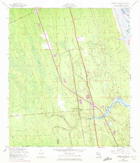
1956 Map of Dinner Island NE
USGS Topo · Published 1972About this map
The Matanzas River and the Intracoastal Waterway define the eastern edge of this coastal Florida landscape, where the tides met the early industrial and transit corridors of the region. Inland, the Florida East Coast railway cuts a straight line through the wetlands of Fish Swamp, paralleling a network of local drainage features such as Pellicer Creek and Cracker Branch. This 1950s record, updated with 1970 photorevisions, documents the rural transition where the St. Johns Co. Flagler Co. border crosses through dense swamp and creek bottoms.
Find a feature on this map
19 named features on this map. Tap any name to fly to it.
Don’t see what you’re looking for? This feature index may not catch every label — zoom into the map to look around manually.
Map Details
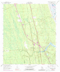
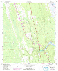
Editions of this 1956 Dinner Island NE Map
4 editions found

Other maps of this area

1927 · Matanzas
USGS Topo · 1:48,000

1937 · Elkton
USGS Topo · 1:24,000

1937 · Crescent Beach
USGS Topo · 1:24,000

1937 · Dinner Island
USGS Topo · 1:48,000

1943 · St. Augustine
USGS Topo · 1:62,500

1943 · Dinner Island
USGS Topo · 1:62,500

1943 · Matanzas
USGS Topo · 1:62,500

1944 · Dinner Island
USGS Topo · 1:62,500

1944 · Matanzas
USGS Topo · 1:62,500

1954 · Daytona Beach
USGS Topo · 1:250,000