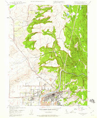
1947 Map of Oroville
USGS Topo · Published 1959About this map
North Table Mountain and South Table Mtn dominate the landscape north of the Feather River, which flows past the established street grids of Oroville and Thermalito. This mid-century survey captures the complex water management system vital to the region, including the Upper Miocene Canal and Lower Miocene Canal that snake through steep terrain like Beatson Hollow and Coal Canyon. The map reveals a transition from industrial and utility infrastructure, such as the Power House and Monte de Oro Mine, to localized rural landmarks like Morris Ravine Sch and the State Division of Forestry headquarters. To the west, the Campbell Hills rise above a landscape defined by ranching and resource extraction, while Oregon City stands as a point of interest for researchers tracking early Butte County settlement patterns.
Find a feature on this map
44 named features on this map. Tap any name to fly to it.
Don’t see what you’re looking for? This feature index may not catch every label — zoom into the map to look around manually.
Map Details
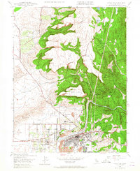
Editions of this 1947 Oroville Map
2 editions found
Other maps of this area

1888 · Marysville
USGS Topo · 1:125,000

1888 · Smartsville
USGS Topo · 1:125,000

1888 · Bidwell Bar
USGS Topo · 1:125,000

1891 · Bidwell Bar
USGS Topo · 1:125,000

1891 · Chico
USGS Topo · 1:125,000

1891 · Marysville
USGS Topo · 1:125,000

1891 · Smartsville
USGS Topo · 1:125,000

1892 · Smartsville
USGS Topo · 1:125,000

1893 · Chico
USGS Topo · 1:125,000

1893 · Bidwell Bar
USGS Topo · 1:125,000