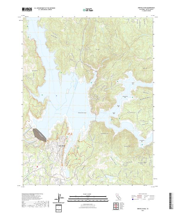
2021 Map of Oroville Dam
USGS Topo · Published 2021About this map
Oroville Dam anchors this landscape, holding back the sprawling waters of Lake Oroville where the North Fork Feather River once flowed freely. The surrounding terrain is a complex of ridgelines and deep ravines, including Kennedy Ravine and Bidwell Bar Canyon, which speak to the area's gold-era geography before the reservoir reshaped the valley floor. High points like Mt Hope and Mt Ratchel overlook a series of historical bars—remnants of river-mining sites—now largely submerged or lining the new shore, such as Union Bar, Miller Bar, and Rocky Bar.
Find a feature on this map
112 named features on this map. Tap any name to fly to it.
Don’t see what you’re looking for? This feature index may not catch every label — zoom into the map to look around manually.
Map Details
Editions of this 2021 Oroville Dam Map
This is the sole edition of this map. No revisions or reprints were ever made.
Other maps of this area

1888 · Marysville
USGS Topo · 1:125,000

1888 · Smartsville
USGS Topo · 1:125,000

1888 · Bidwell Bar
USGS Topo · 1:125,000

1891 · Bidwell Bar
USGS Topo · 1:125,000

1891 · Chico
USGS Topo · 1:125,000

1891 · Marysville
USGS Topo · 1:125,000

1891 · Smartsville
USGS Topo · 1:125,000

1892 · Smartsville
USGS Topo · 1:125,000

1893 · Chico
USGS Topo · 1:125,000

1893 · Bidwell Bar
USGS Topo · 1:125,000