2023 Map of Orwell
USGS Topo · Published 2023About this map
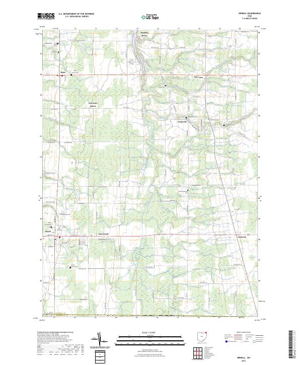
Agricultural lands and wooded tracts characterize the southern Ashtabula County landscape, where the settlements of Orwell and East Orwell serve as the primary hubs. This area is defined by a dense network of local township and county roads, such as Station Rd and Dodgeville Rd, which connect a series of small, long-standing hamlets. The map reveals a high concentration of burial grounds, including the North Orwell Cem and the South Orwell Cem, indicating a well-established history of family settlement across the territory. To the north, the terrain is shaped by the waters of Rock Creek and Whetstone Creek, with smaller outposts like New Lyme Station and Dodgeville marking former transit or commercial points. The layout of drainage features like Snyder Ditch highlights the ongoing management of this low-lying landscape for modern rural use.
Find a feature on this map
87 named features on this map. Tap any name to fly to it.
Don’t see what you’re looking for? This feature index may not catch every label — zoom into the map to look around manually.
Map Details
Editions of this 2023 Orwell Map
This is the sole edition of this map. No revisions or reprints were ever made.
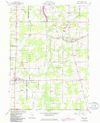
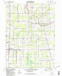
Historical Maps of Orwell Township Through Time
3 maps found
Featured Locations
- Bloomfield Township, OH
- Morgan Township, OH
- Orwell, Orwell Village
- Roaming Shores, Morgan Township
- Rome, Rome Township