2022 Map of Osceola
USGS Topo · Published 2022About this map
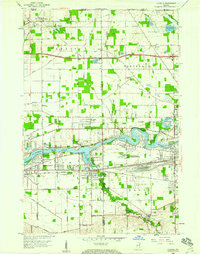
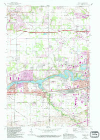
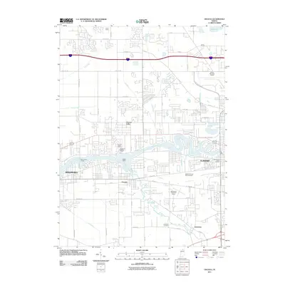
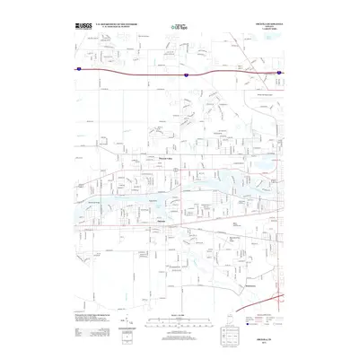
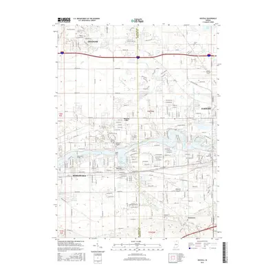
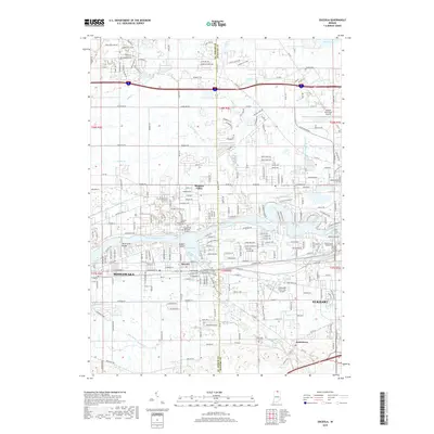
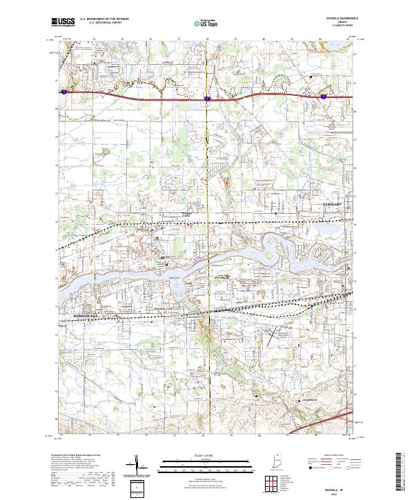
The Saint Joseph River and its accompanying wetlands define this corridor between the growing urban centers of Mishawaka and Elkhart in the early 21st century. The map details the residential expansion surrounding the town of Osceola, where suburban developments such as Eagle Point and Pleasant Valley sit adjacent to the winding course of Baugo Creek. This landscape is heavily shaped by water management and aviation, featuring the Elkhart Municipal Airport in the northeast and the Mishawaka Pilots Club Airport further south. For genealogists, the survey records long-standing landmarks including Carlton Cem and Saint Vincent Depaul Cem, providing a precise look at the area's transition from open land into a modern residential and light industrial hub.
Find a feature on this map
62 named features on this map. Tap any name to fly to it.
Don’t see what you’re looking for? This feature index may not catch every label — zoom into the map to look around manually.
Map Details
Editions of this 2022 Osceola Map
This is the sole edition of this map. No revisions or reprints were ever made.
Historical Maps of Elkhart Through Time
7 maps found