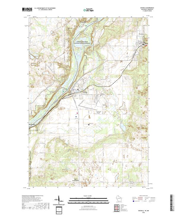
2022 Map of Osceola
USGS Topo · Published 2022About this map
The Saint Croix Wild and Scenic River defines the border between Minnesota and Wisconsin in this 2022 survey, anchoring a landscape where river-bluff geography meets rural settlement. The community of Osceola sits prominently on the eastern bank, supported by infrastructure like the L O Simenstad Municipal Airport and a grid of well-defined roads including N Cascade St and Depot Rd. Across the water in Minnesota, the small settlement of Franconia and the Farm Service Agency Interest of Minnesota lands highlight the agricultural character of the plateau above the river valley.
Find a feature on this map
106 named features on this map. Tap any name to fly to it.
Don’t see what you’re looking for? This feature index may not catch every label — zoom into the map to look around manually.
Map Details
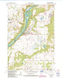
Editions of this 2022 Osceola Map
This is the sole edition of this map. No revisions or reprints were ever made.
Historical Maps of East Farmington Through Time
Featured Locations
- Osceola, WI
- Dresser, WI
- Franconia, Franconia Township
- Town of Osceola, Osceola
- Town of Farmington, Farmington