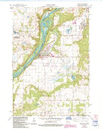
1978 Map of Osceola
USGS Topo · Published 1993About this map
The St Croix River serves as a dominant boundary on this survey, where the river's path creates a series of islands and backwater features like Peaslee Lake and Rice Lake. The village of Osceola is a central hub of activity, featuring the Osceola Municipal Airfield and the Osceola State Fish Hatchery. Near the town center, a Trailer Park and several Water Tanks indicate local growth, while the surrounding landscape is marked by industry and conservation, including Interstate State Park and various Gravel Pits. Local history and genealogy are anchored by the Pleasant Prairie Cem and Ramsey Cem, as well as the outlying settlements of Franconia, Dresser, and East Farmington. The terrain is also defined by industrial activity, with several large Quarries and a Sandpit located on the eastern edge near the village of Dresser.
Find a feature on this map
43 named features on this map. Tap any name to fly to it.
Don’t see what you’re looking for? This feature index may not catch every label — zoom into the map to look around manually.
Map Details
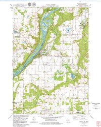
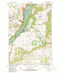
Editions of this 1978 Osceola Map
3 editions found
Other maps of this area

1900 · St Croix Dalles
USGS Topo · 1:62,500

1901 · St Croix Dalles
USGS Topo · 1:62,500

1948 · New Richmond
USGS Topo · 1:62,500

1948 · Stillwater
USGS Topo · 1:62,500

1949 · New Richmond
USGS Topo · 1:62,500

1949 · Stillwater
USGS Topo · 1:62,500

1953 · Stillwater
USGS Topo · 1:250,000

1955 · St. Croix Dalles
USGS Topo · 1:62,500

1955 · Marine
USGS Topo · 1:24,000

1955 · Forest Lake
USGS Topo · 1:62,500