
1955 Map of Forest Lake
USGS Topo · Published 1957About this map
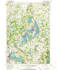
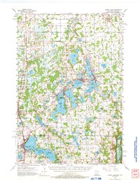
The sprawling lakes of Chisago County define the landscape of this mid-1950s survey, where interconnected waterways like Green Lake and Sunrise Lake shaped the early growth of nearby towns. Lindstrom, Chisago City, and Center City are shown at a point of post-war stability, situated along the Northern Pacific railroad line that once drove the region's economy. The map captures the recreational and conservation character of the era, from the Girl Scout Camp on the shores of Green Lake to the extensive Carlos Avery State Game Refuge and Public Hunting Grounds in the west.
Find a feature on this map
101 named features on this map. Tap any name to fly to it.
Don’t see what you’re looking for? This feature index may not catch every label — zoom into the map to look around manually.
Map Details
Editions of this 1955 Forest Lake Map
3 editions found
Other maps of this area

1900 · St Croix Dalles
USGS Topo · 1:62,500

1901 · St Croix Dalles
USGS Topo · 1:62,500

1902 · White Bear
USGS Topo · 1:62,500

1948 · New Richmond
USGS Topo · 1:62,500

1948 · Stillwater
USGS Topo · 1:62,500

1949 · New Richmond
USGS Topo · 1:62,500

1949 · Stillwater
USGS Topo · 1:62,500

1950 · Rush City
USGS Topo · 1:48,000

1951 · Milltown
USGS Topo · 1:48,000

1952 · Centerville
USGS Topo · 1:24,000