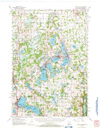
1955 Map of Forest Lake
USGS Topo · Published 1972About this map
Green Lake and the Sunrise River anchor this detailed mid-century survey of the lake-studded borderlands between Chisago and Washington counties. The region's character as a destination for recreation and residential expansion is evident in the lakeside developments of Chippewa Heights and Hidden Valley, along with landmarks like the Country Club and the Girl Scout Camp. In the southwestern corner, the sprawling Carlos Avery State Game Refuge and Public Hunting Grounds preserves a vast wetland landscape adjacent to Wyoming. Historical patterns of land use are revealed through the presence of several Gravel Pits and the Burlington Northern rail line passing through Stacy. Local history is preserved in sites such as the Meadow View Sch (Abandoned) and the lakeside Glader Cem near Center City.
Find a feature on this map
94 named features on this map. Tap any name to fly to it.
Don’t see what you’re looking for? This feature index may not catch every label — zoom into the map to look around manually.
Map Details
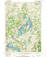
Editions of this 1955 Forest Lake Map
3 editions found

Other maps of this area

1900 · St Croix Dalles
USGS Topo · 1:62,500

1901 · St Croix Dalles
USGS Topo · 1:62,500

1902 · White Bear
USGS Topo · 1:62,500

1948 · New Richmond
USGS Topo · 1:62,500

1948 · Stillwater
USGS Topo · 1:62,500

1949 · New Richmond
USGS Topo · 1:62,500

1949 · Stillwater
USGS Topo · 1:62,500

1950 · Rush City
USGS Topo · 1:48,000

1951 · Milltown
USGS Topo · 1:48,000

1952 · Centerville
USGS Topo · 1:24,000