Loading...
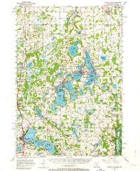
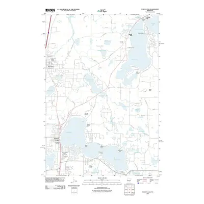
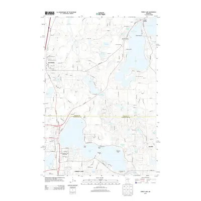
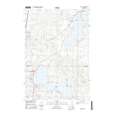
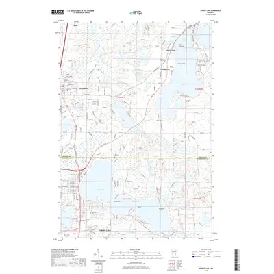
Loading map...1955 Map of Forest Lake
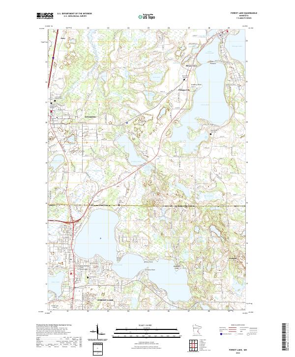
USGS Topo · Published 1964About this map
The Northern Pacific railroad corridor anchors the western half of this 1950s landscape, connecting the agricultural and timbered lands of Wyoming and Stacy to the larger regional network. This era shows a community defined by its intricate lake systems, where Chisago City, Lindstrom, and Center City sit as a chain of settlements along the narrow peninsulas and shores of Chisago Lake and North Center Lake. The mapping of family-named landmarks like Simmons Point and Wallmark Lake reflects a deeply settled local history.
Find a feature on this map
103 named features on this map. Tap any name to fly to it.
Don’t see what you’re looking for? This feature index may not catch every label — zoom into the map to look around manually.
Map Details
Date Portrayed1955
Date Published1964
PublisherU.S. Geological Survey
Map TypeTopographic
Scale1:62,500
Physical Dimensions21.53 x 27.23 inches
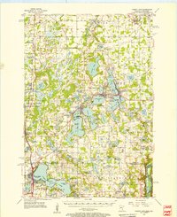
Editions of this 1955 Forest Lake Map
3 editions found
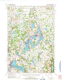
Historical Maps of North Branch Through Time
7 maps found
Featured Locations
Source Details
SourceU.S. Geological Survey
CopyrightPublic Domain