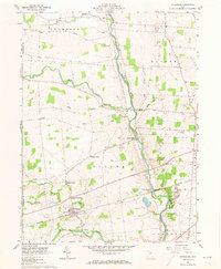
1961 Map of Ostrander
USGS Topo · Published 1973About this map
The Scioto River carves a central path through this landscape, defining the rural character of Delaware and Union Counties in the early 1960s. The village of Ostrander serves as a hub for the surrounding agricultural community, where numerous crossroads settlements like Gabriel Corners, Fairview Corners, and Brindle Corner mark the intersections of early transit routes. Along the river, industry and infrastructure are evident at White Sulphur and the small riverside community of Klondike, where the New York Central railroad crosses the water.
Find a feature on this map
36 named features on this map. Tap any name to fly to it.
Don’t see what you’re looking for? This feature index may not catch every label — zoom into the map to look around manually.
Map Details
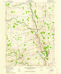
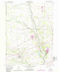
Editions of this 1961 Ostrander Map
3 editions found
Other maps of this area

1901 · Dublin
USGS Topo · 1:62,500

1903 · Dublin
USGS Topo · 1:62,500

1913 · Richwood
USGS Topo · 1:62,500

1915 · Richwood
USGS Topo · 1:62,500

1916 · Milford Center
USGS Topo · 1:62,500

1924 · Delaware
USGS Topo · 1:62,500

1925 · Delaware
USGS Topo · 1:62,500

1944 · Richwood
USGS Topo · 1:62,500

1944 · Milford Center
USGS Topo · 1:62,500

1944 · Delaware
USGS Topo · 1:62,500