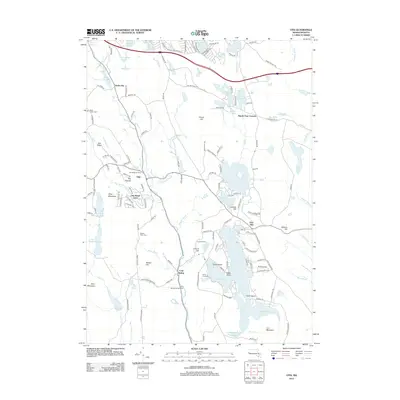
2012 Map of Otis
USGS Topo · Published 2012About this map
Otis Reservoir dominates the southern landscape of this Berkshire County area, surrounded by a complex network of seasonal camps and recreational landings including The Pork Barrel, Island Acres, and Camp Nawaka. The settlement pattern follows the rugged terrain, with North Otis and the town of Otis situated along the Farmington River corridor. Genealogy and local history are anchored by several established burial grounds, notably Beech Plain Cem and West Center Cem.
Find a feature on this map
155 named features on this map. Tap any name to fly to it.
Don’t see what you’re looking for? This feature index may not catch every label — zoom into the map to look around manually.
Map Details
Editions of this 2012 Otis Map
This is the sole edition of this map. No revisions or reprints were ever made.
Other maps of this area

1886 · Chesterfield
USGS Topo · 1:62,500

1886 · Becket
USGS Topo · 1:62,500

1887 · Granville
USGS Topo · 1:62,500

1888 · Becket
USGS Topo · 1:62,500

1888 · Sandisfield
USGS Topo · 1:62,500

1888 · Chesterfield
USGS Topo · 1:62,500

1889 · Granville
USGS Topo · 1:62,500

1893 · Granville
USGS Topo · 1:62,500

1893 · Chesterfield
USGS Topo · 1:62,500

1893 · Becket
USGS Topo · 1:62,500