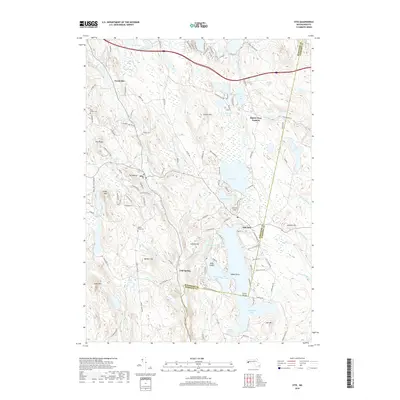
2018 Map of Otis
USGS Topo · Published 2018About this map
Otis Reservoir dominates the lower half of this landscape, its sprawling waters featuring Gate Island, Clark Island, and the sheltered Dismal Bay. This region of the Berkshires is characterized by a high concentration of freshwater bodies, from the substantial Big Pond and Benton Pond to the smaller Watson Pond and Hayden Pond. The settlement pattern centers on small villages and junctions like North Otis, East Otis, and the curiously named Algerie Four Corners. Topographically, the area is defined by significant elevations such as Otis Ridge and Filley Mtn, which frame the deep valleys of the Clam River and the East Branch Farmington River. Local history is anchored by sites like West Center Cem and Beech Plain Cem, marking established communities amidst the forested hills of Larkum Hill and Lair Mtn.
Find a feature on this map
129 named features on this map. Tap any name to fly to it.
Don’t see what you’re looking for? This feature index may not catch every label — zoom into the map to look around manually.
Map Details
Editions of this 2018 Otis Map
This is the sole edition of this map. No revisions or reprints were ever made.
Other maps of this area

1886 · Chesterfield
USGS Topo · 1:62,500

1886 · Becket
USGS Topo · 1:62,500

1887 · Granville
USGS Topo · 1:62,500

1888 · Becket
USGS Topo · 1:62,500

1888 · Sandisfield
USGS Topo · 1:62,500

1888 · Chesterfield
USGS Topo · 1:62,500

1889 · Granville
USGS Topo · 1:62,500

1893 · Granville
USGS Topo · 1:62,500

1893 · Chesterfield
USGS Topo · 1:62,500

1893 · Becket
USGS Topo · 1:62,500