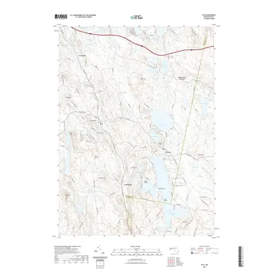
2021 Map of Otis
USGS Topo · Published 2021About this map
Otis and its surrounding villages sit at the center of this Berkshire and Hampden County landscape, dominated by a series of interconnected water bodies and ridges. The sprawling Otis Reservoir defines the southern portion of the sheet, featuring named points and islands like Kibbe Point and Gate Island. Settlement patterns are concentrated along route 23 and 8, where hamlets such as North Otis, East Otis, and Algerie Four Corners serve as local hubs. Genealogists and local historians can locate early burial sites at West Center Cem and Beech Plain Cem, while the industrial history of the region is reflected in names like Tannery Rd and the Becket Quarry RT Trl near the northern boundary. The terrain is marked by significant rises including Filley Mtn, Lair Mtn, and the distinctive Otis Ridge, illustrating the township's characteristic topography before the encroachment of modern development.
Find a feature on this map
138 named features on this map. Tap any name to fly to it.
Don’t see what you’re looking for? This feature index may not catch every label — zoom into the map to look around manually.
Map Details
Editions of this 2021 Otis Map
This is the sole edition of this map. No revisions or reprints were ever made.
Other maps of this area

1886 · Chesterfield
USGS Topo · 1:62,500

1886 · Becket
USGS Topo · 1:62,500

1887 · Granville
USGS Topo · 1:62,500

1888 · Becket
USGS Topo · 1:62,500

1888 · Sandisfield
USGS Topo · 1:62,500

1888 · Chesterfield
USGS Topo · 1:62,500

1889 · Granville
USGS Topo · 1:62,500

1893 · Granville
USGS Topo · 1:62,500

1893 · Chesterfield
USGS Topo · 1:62,500

1893 · Becket
USGS Topo · 1:62,500