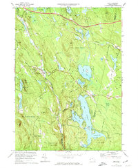
1973 Map of Otis
USGS Topo · Published 1974About this map
The expansive waters of the Otis Reservoir dominate this 1970s landscape, serving as a focal point for recreation with various landings, including the Campground and Picnic Area near Clark Island. The surrounding territory, largely preserved within the Otis State Forest, Sandisfield State Forest, and Tolland State Forest, reflects a transition from early upland farming and transport to a twentieth-century economy of timber and tourism. Evidence of the area's older infrastructure persists in the Old Railroad Grade and the Toll Road, which parallel the modern Massachusetts Turnpike across the northern hills.
Find a feature on this map
66 named features on this map. Tap any name to fly to it.
Don’t see what you’re looking for? This feature index may not catch every label — zoom into the map to look around manually.
Map Details
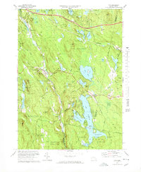
Editions of this 1973 Otis Map
2 editions found
Other maps of this area

1886 · Chesterfield
USGS Topo · 1:62,500

1886 · Becket
USGS Topo · 1:62,500

1887 · Granville
USGS Topo · 1:62,500

1888 · Becket
USGS Topo · 1:62,500

1888 · Sandisfield
USGS Topo · 1:62,500

1888 · Chesterfield
USGS Topo · 1:62,500

1889 · Granville
USGS Topo · 1:62,500

1893 · Granville
USGS Topo · 1:62,500

1893 · Chesterfield
USGS Topo · 1:62,500

1893 · Becket
USGS Topo · 1:62,500