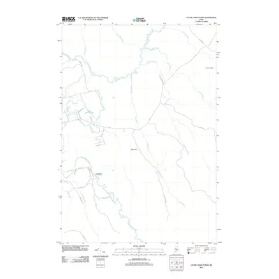
2011 Map of Otter Chain Ponds
USGS Topo · Published 2011About this map
Sunkhaze Stream and the Otter Chain Ponds define the hydrological landscape of this section of Maine, where a complex network of waterways once supported regional timber and water-power operations. The southern portion of the area is anchored by the Great Works Stream Dam, a significant infrastructure point where Great Works Stream is managed. The terrain is marked by distinct rises such as Baker Hill and Haynes Ridge, which overlook expansive lowlands including Carter Meadow. Local road names like Bryers Heights Rd, Back Mills Rd, and Pine Knoll Rd suggest the transition from early industrial footprints to more modern residential and recreational access. These corridors, along with the numerous tributary brooks like Baker Brook and Boynton Brook, provide a clear picture of the land's drainage patterns and the historic relationship between the winding streams and the development of local thoroughfares.
Find a feature on this map
36 named features on this map. Tap any name to fly to it.
Don’t see what you’re looking for? This feature index may not catch every label — zoom into the map to look around manually.
Map Details
Editions of this 2011 Otter Chain Ponds Map
This is the sole edition of this map. No revisions or reprints were ever made.
Other maps of this area

1902 · Orono
USGS Topo · 1:62,500

1917 · Passadumkeag
USGS Topo · 1:62,500

1929 · Great Pond
USGS Topo · 1:48,000

1931 · Saponac
USGS Topo · 1:48,000

1932 · Great Pond
USGS Topo · 1:62,500

1934 · Saponac
USGS Topo · 1:62,500

1944 · Orono
USGS Topo · 1:62,500

1946 · Orono
USGS Topo · 1:62,500

1948 · Bangor
USGS Topo · 1:250,000

1954 · Millinocket
USGS Topo · 1:250,000