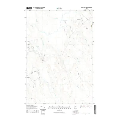
2014 Map of Otter Chain Ponds
USGS Topo · Published 2014About this map
Otter Chain Ponds and the intricate network of the Sunkhaze Stream watershed dominate this landscape in central Maine. The terrain is defined by low-lying wetlands and glacial features, such as the prominent Haynes Ridge in the northeast and Baker Hill further south. While much of the area remains undeveloped forest and bog, the map documents a distinct pattern of recreational and timber access through named paths like the Oak Points Trail and Spruce Loop Trail. Near the settlement of Milford, residential development is concentrated along roads such as Bryer Heights Rd and Kingsbury Rd. The inclusion of the Evergreen Cem provides a specific point of interest for genealogists tracing local families in this part of Penobscot Co. Numerous water bodies, including Great Works Stream and Birch Stream, illustrate the complex drainage typical of the region.
Find a feature on this map
38 named features on this map. Tap any name to fly to it.
Don’t see what you’re looking for? This feature index may not catch every label — zoom into the map to look around manually.
Map Details
Editions of this 2014 Otter Chain Ponds Map
This is the sole edition of this map. No revisions or reprints were ever made.
Other maps of this area

1902 · Orono
USGS Topo · 1:62,500

1917 · Passadumkeag
USGS Topo · 1:62,500

1929 · Great Pond
USGS Topo · 1:48,000

1931 · Saponac
USGS Topo · 1:48,000

1932 · Great Pond
USGS Topo · 1:62,500

1934 · Saponac
USGS Topo · 1:62,500

1944 · Orono
USGS Topo · 1:62,500

1946 · Orono
USGS Topo · 1:62,500

1948 · Bangor
USGS Topo · 1:250,000

1954 · Millinocket
USGS Topo · 1:250,000