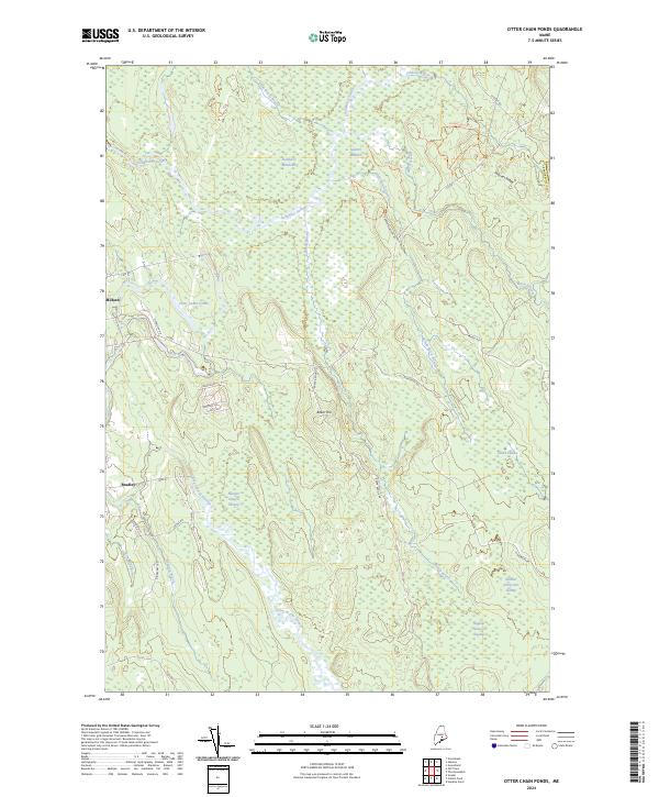
2024 Map of Otter Chain Ponds
USGS Topo · Published 2024About this map
Sunkhaze Meadows National Wildlife Refuge dominates this modern topographical survey of Penobscot County, encompassing a vast network of peatlands and waterways. The landscape is defined by the slow movement of the Sunkhaze Stream and its adjacent Sunkhaze Meadows, which provide critical habitat in this section of Maine. To the south and west, the small settlements of Milford and Bradley mark the transition toward more developed corridors, while the interior remains characterized by named wetlands like Number Sixteen Swamp and Number Thirty-two Swamp.
Find a feature on this map
42 named features on this map. Tap any name to fly to it.
Don’t see what you’re looking for? This feature index may not catch every label — zoom into the map to look around manually.
Map Details
Editions of this 2024 Otter Chain Ponds Map
This is the sole edition of this map. No revisions or reprints were ever made.
Other maps of this area

1902 · Orono
USGS Topo · 1:62,500

1917 · Passadumkeag
USGS Topo · 1:62,500

1929 · Great Pond
USGS Topo · 1:48,000

1931 · Saponac
USGS Topo · 1:48,000

1932 · Great Pond
USGS Topo · 1:62,500

1934 · Saponac
USGS Topo · 1:62,500

1944 · Orono
USGS Topo · 1:62,500

1946 · Orono
USGS Topo · 1:62,500

1948 · Bangor
USGS Topo · 1:250,000

1954 · Millinocket
USGS Topo · 1:250,000