Loading...
Loading map...2022 Map of Ottertail
USGS Topo · Published 2022About this map
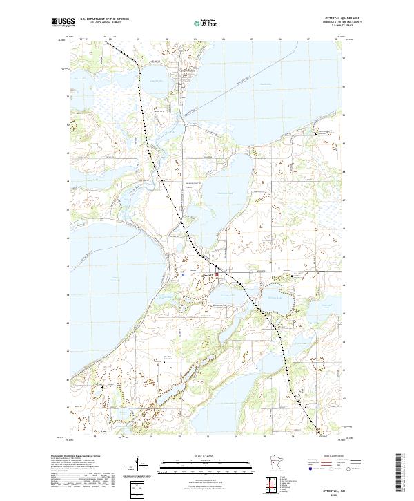
Ottertail serves as the central hub of this lake-strewn landscape in central Minnesota, situated at a narrow junction between the expansive Otter Tail Lake and Portage Lake. The geography is defined by a dense network of glacial water bodies, from the large Rush Lake in the northeast to the smaller, family-named Donalds Lake and Gourd Lake further south. Local transport relies on a series of historical routes like Co HWY 1 and Main ST, which connect the scattered shoreline communities.
Find a feature on this map
71 named features on this map. Tap any name to fly to it.
Don’t see what you’re looking for? This feature index may not catch every label — zoom into the map to look around manually.
Map Details
Date Portrayed2022
Date Published2022
PublisherU.S. Geological Survey
Map TypeTopographic
Scale1:24000
Physical Dimensions24 x 29 inches
Editions of this 2022 Ottertail Map
This is the sole edition of this map. No revisions or reprints were ever made.
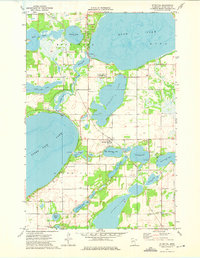
Historical Maps of Ottertail Through Time
Featured Locations
Source Details
SourceU.S. Geological Survey
CopyrightPublic Domain