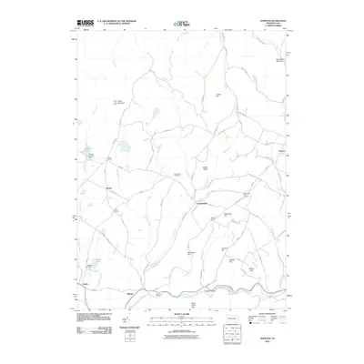
2010 Map of Overton
USGS Topo · Published 2010About this map
Cahill Mountain and the associated Cahill Fire Tower overlook a landscape defined by the winding course of the Little Loyalsock Creek in this 2010 USGS survey. The region is dotted with historic rural crossroads and small settlements like Overton, Campbellville, and Estella. Numerous family-named landmarks and geographic features, such as Warburton Hill, Molyneux Hill, and Sugar Ridge, suggest a long history of local land use and family homesteading. Genealogists will find significant value in the documentation of local burial sites, including Greenwood Cemetery, Warburton Hill Cemetery, and Millview Cemetery. The map also captures the local water management and recreation sites, showing the Roscoe Burgess Dam holding back Burgess Pond, alongside a network of tributary runs including Streby Run and Blackwater Run.
Find a feature on this map
77 named features on this map. Tap any name to fly to it.
Don’t see what you’re looking for? This feature index may not catch every label — zoom into the map to look around manually.
Map Details
Editions of this 2010 Overton Map
This is the sole edition of this map. No revisions or reprints were ever made.
Other maps of this area

1927 · Eagles Mere
USGS Topo · 1:48,000

1932 · Eagle Mere
USGS Topo · 1:62,500

1934 · Laporte
USGS Topo · 1:62,500

1943 · Monroeton
USGS Topo · 1:62,500

1943 · Powell
USGS Topo · 1:62,500

1945 · Powell
USGS Topo · 1:62,500

1953 · LaPorte
USGS Topo · 1:62,500

1953 · Eagles Mere
USGS Topo · 1:62,500

1954 · Williamsport
USGS Topo · 1:250,000

1960 · Williamsport
USGS Topo · 1:250,000
Featured Places
- Overton Township, PA
- Elkland Township, PA
- Forks Township, PA
- Monroe Township, PA
- Estella, Elkland Township