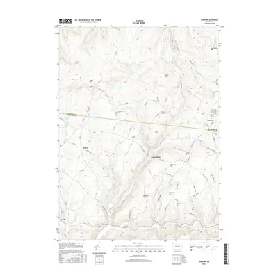
2016 Map of Overton
USGS Topo · Published 2016About this map
Sugar Ridge and the high plateaus of the Endless Mountains dominate this 2016 survey along the border of Bradford and Sullivan Counties. The settlement of Overton sits near the northeastern corner, serving as a hub for local history with the Saint Pauls United Church of Christ Cem and Saint Francis Xavier Cem Cem. Moving south toward the Sullivan County line, the map identifies small rural clusters such as Campbellville and Millview, where the Millview Cem and the nearby Estella Spr highlight the legacy of early family homesteads.
Find a feature on this map
113 named features on this map. Tap any name to fly to it.
Don’t see what you’re looking for? This feature index may not catch every label — zoom into the map to look around manually.
Map Details
Editions of this 2016 Overton Map
This is the sole edition of this map. No revisions or reprints were ever made.
Other maps of this area

1927 · Eagles Mere
USGS Topo · 1:48,000

1932 · Eagle Mere
USGS Topo · 1:62,500

1934 · Laporte
USGS Topo · 1:62,500

1943 · Monroeton
USGS Topo · 1:62,500

1943 · Powell
USGS Topo · 1:62,500

1945 · Powell
USGS Topo · 1:62,500

1953 · LaPorte
USGS Topo · 1:62,500

1953 · Eagles Mere
USGS Topo · 1:62,500

1954 · Williamsport
USGS Topo · 1:250,000

1960 · Williamsport
USGS Topo · 1:250,000
Featured Places
- Overton Township, PA
- Elkland Township, PA
- Forks Township, PA
- Monroe Township, PA
- Estella, Elkland Township