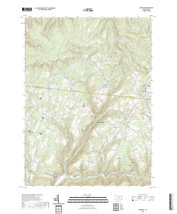
2023 Map of Overton
USGS Topo · Published 2023About this map
The Bradford Co Sullivan Co boundary line bisects this region of Pennsylvania, running through a landscape defined by elevated ridges and narrow stream valleys. The small settlement of Overton sits near the northeastern corner, surrounded by several significant local burial sites including Saint Francis Xavier Cem and the Saints Phillip and James Church Cem. To the south, the village of Campbellville is situated on the slopes of Warburton Hill, overlooking the Streby Run and Lick Creek drainages. Genealogy researchers will find an exceptional density of family and community cemeteries here, such as the Mullan - Pardoe - Grange Cem and Millview Cem, which reflect the localized settlement patterns of these mountain communities. The southern reaches of the map are anchored by Millview and Estella, where the terrain begins to drop toward the Little Loyalsock Creek.
Find a feature on this map
90 named features on this map. Tap any name to fly to it.
Don’t see what you’re looking for? This feature index may not catch every label — zoom into the map to look around manually.
Map Details
Editions of this 2023 Overton Map
This is the sole edition of this map. No revisions or reprints were ever made.
Other maps of this area

1927 · Eagles Mere
USGS Topo · 1:48,000

1932 · Eagle Mere
USGS Topo · 1:62,500

1934 · Laporte
USGS Topo · 1:62,500

1943 · Monroeton
USGS Topo · 1:62,500

1943 · Powell
USGS Topo · 1:62,500

1945 · Powell
USGS Topo · 1:62,500

1953 · LaPorte
USGS Topo · 1:62,500

1953 · Eagles Mere
USGS Topo · 1:62,500

1954 · Williamsport
USGS Topo · 1:250,000

1960 · Williamsport
USGS Topo · 1:250,000
Featured Places
- Overton Township, PA
- Elkland Township, PA
- Estella, Elkland Township
- Campbellville, Forks Township
- Millview, Forks Township