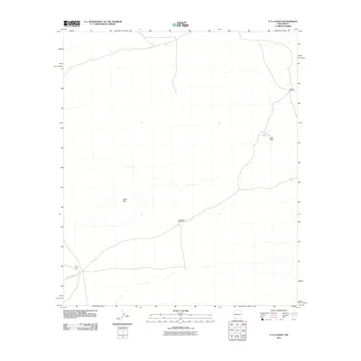
2010 Map of P O L Ranch
USGS Topo · Published 2010About this map
P O L Ranch anchors this sparse Chihuahuan Desert landscape in Doña Ana County, representing the quiet ranching life of southern New Mexico. This 2010 survey illustrates the critical role of water management in an arid environment, where scattered landmarks like the Black Hills Tank, Eagle Nest Windmill, and Johnson Windmill provide the necessary infrastructure for livestock and survival. The map highlights a remote area defined more by its natural topography than by dense settlement, with the Black Hills rising to the northeast and Eagle Nest marking a localized feature in the central-west. Access to these distant pastures is maintained through a limited network of desert tracks and the primary artery of County Rd B003, which cuts through the southern portion of the quadrangle.
Find a feature on this map
7 named features on this map. Tap any name to fly to it.
Don’t see what you’re looking for? This feature index may not catch every label — zoom into the map to look around manually.
Map Details
Editions of this 2010 P O L Ranch Map
This is the sole edition of this map. No revisions or reprints were ever made.
Other maps of this area

1917 · Camel Mountain
USGS Topo · 1:62,500

1917 · Mt. Riley
USGS Topo · 1:62,500

1918 · Mt. Riley
USGS Topo · 1:62,500

1929 · Mt. Riley
USGS Topo · 1:62,500

1941 · Aden
USGS Topo · 1:62,500

1943 · Aden
USGS Topo · 1:62,500

1951 · Mt. Riley
USGS Topo · 1:62,500

1953 · El Paso
USGS Topo · 1:250,000

1955 · Las Cruces
USGS Topo · 1:250,000

1958 · Las Cruces
USGS Topo · 1:250,000