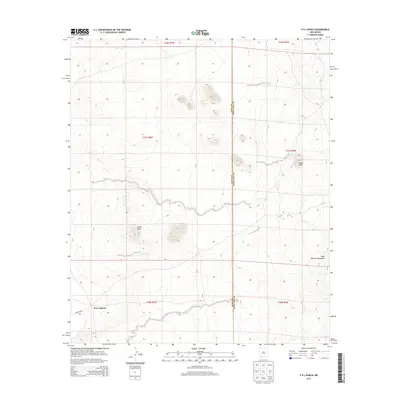
2013 Map of P O L Ranch
USGS Topo · Published 2013About this map
P O L Ranch sits in a high-desert basin near the southern border of New Mexico, where the remote landscape is shaped by the volcanic peaks of the West Potrillo Mountains. This 2013 survey illustrates a region defined by sparse settlement and significant geological formations, including the prominent rise of Eagle Nest and the Black Hills. The presence of the Black Hills Tank highlights the critical role of water management in this arid environment, providing a necessary resource for the ranching operations that have long characterized the borderlands of Doña Ana and Luna Counties. Running across the southwestern corner, Co Road B003 provides the primary access route through this expansive terrain, connecting the isolated ranch house to the broader regional network.
Find a feature on this map
7 named features on this map. Tap any name to fly to it.
Don’t see what you’re looking for? This feature index may not catch every label — zoom into the map to look around manually.
Map Details
Editions of this 2013 P O L Ranch Map
This is the sole edition of this map. No revisions or reprints were ever made.
Other maps of this area

1917 · Camel Mountain
USGS Topo · 1:62,500

1917 · Mt. Riley
USGS Topo · 1:62,500

1918 · Mt. Riley
USGS Topo · 1:62,500

1929 · Mt. Riley
USGS Topo · 1:62,500

1941 · Aden
USGS Topo · 1:62,500

1943 · Aden
USGS Topo · 1:62,500

1951 · Mt. Riley
USGS Topo · 1:62,500

1953 · El Paso
USGS Topo · 1:250,000

1955 · Las Cruces
USGS Topo · 1:250,000

1958 · Las Cruces
USGS Topo · 1:250,000