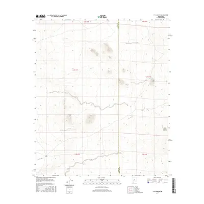
2017 Map of P O L Ranch
USGS Topo · Published 2017About this map
P O L Ranch sits at the center of this 2017 survey, representing a solitary human footprint within the arid basin and range landscape of the West Potrillo Mountains. The map documents a sparsely populated corner of the desert southwest, where access is defined by the Pol Ranch Rd and water resources like Black Hills Tank are critical markers on the land. The topography is dominated by volcanic features and peaks, notably the prominent Eagle Nest and the Black Hills, which rise distinctly above the surrounding flats. This map clearly delineates the border between Luna and Doña Ana counties, showing how these political boundaries bisect the high desert. The lack of dense infrastructure highlights a region dedicated to ranching and open space, providing a detailed record of the terrain and drainage patterns in a quiet corner of New Mexico.
Find a feature on this map
13 named features on this map. Tap any name to fly to it.
Don’t see what you’re looking for? This feature index may not catch every label — zoom into the map to look around manually.
Map Details
Editions of this 2017 P O L Ranch Map
This is the sole edition of this map. No revisions or reprints were ever made.
Other maps of this area

1917 · Camel Mountain
USGS Topo · 1:62,500

1917 · Mt. Riley
USGS Topo · 1:62,500

1918 · Mt. Riley
USGS Topo · 1:62,500

1929 · Mt. Riley
USGS Topo · 1:62,500

1941 · Aden
USGS Topo · 1:62,500

1943 · Aden
USGS Topo · 1:62,500

1951 · Mt. Riley
USGS Topo · 1:62,500

1953 · El Paso
USGS Topo · 1:250,000

1955 · Las Cruces
USGS Topo · 1:250,000

1958 · Las Cruces
USGS Topo · 1:250,000