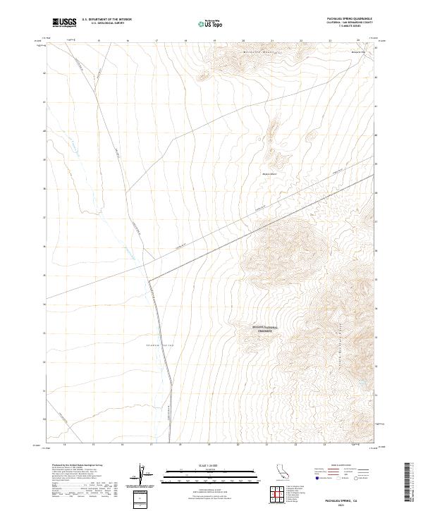
2021 Map of Pachalka Spring
USGS Topo · Published 2021About this map
Mojave National Preserve anchors this section of the High Desert, where the high ridges of the Mesquite Mountains and Clark Mountain Range converge. The landscape is defined by the broad drainage of Shadow Valley and the seasonal path of Kingston Wash, showing a terrain largely shaped by water movement in an arid environment. Historic transportation and mining access routes such as Excelsior Mine Rd and Kingston Rd cross the valley floor, hinting at the region's industrial past. A rare water source, Pachalka Spring, sits tucked against the eastern mountains near the ascent to Mesquite Pass, providing a vital point of interest for researchers tracking early desert travel and natural resource locations in San Bernardino County.
Find a feature on this map
24 named features on this map. Tap any name to fly to it.
Don’t see what you’re looking for? This feature index may not catch every label — zoom into the map to look around manually.
Map Details
Editions of this 2021 Pachalka Spring Map
This is the sole edition of this map. No revisions or reprints were ever made.
Other maps of this area

1910 · Ivanpah
USGS Topo · 1:250,000

1912 · Ivanpah
USGS Topo · 1:250,000

1942 · Ivanpah
USGS Topo · 1:250,000

1947 · Kingman
USGS Topo · 1:250,000

1948 · Kingman
USGS Topo · 1:250,000

1954 · Kingman
USGS Topo · 1:250,000

1955 · Kingman
USGS Topo · 1:250,000

1955 · Kingston Peak
USGS Topo · 1:62,500

1955 · Mescal Range
USGS Topo · 1:62,500

1956 · Halloran Spring
USGS Topo · 1:62,500