Loading...
Loading map...2021 Map of Pacific
USGS Topo · Published 2021About this map
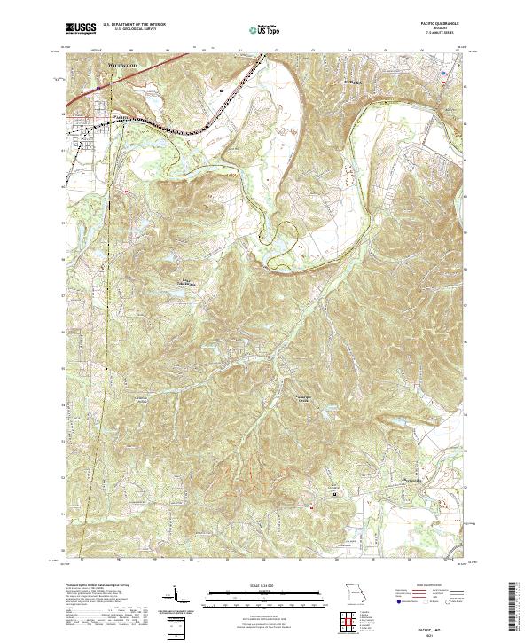
The Meramec River carves a winding path through this corner of Missouri, where the boundaries of Franklin, St. Louis, and Jefferson Counties converge. This 2021 survey illustrates the mixed residential and rural character of Pacific and Eureka, with the BNSF Railway following the river corridor. To the south, Byrnesville sits near the banks of the Big River, while family and local heritage is preserved at the Saint Columbkille Cem.
Find a feature on this map
189 named features on this map. Tap any name to fly to it.
Don’t see what you’re looking for? This feature index may not catch every label — zoom into the map to look around manually.
Map Details
Date Portrayed2021
Date Published2021
PublisherU.S. Geological Survey
Map TypeTopographic
Scale1:24000
Physical Dimensions24 x 29 inches
Editions of this 2021 Pacific Map
This is the sole edition of this map. No revisions or reprints were ever made.
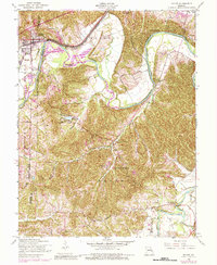
Historical Maps of Pacific Through Time
3 maps found

Featured Locations
Source Details
SourceU.S. Geological Survey
CopyrightPublic Domain